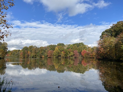
Last weekend I tackled a longer walk, in part as a challenge and in part because it would let me see new parts of the city - the Arlington Loop. At 16.2 miles, the Loop uses the Custis, W&OD, Four Mile Run, and Mount Vernon trails to roughly circumnavigate the city, and is generally done as a biking trip. But there's no reason it can't be walked.

I did it counter-clockwise, starting from a point on the Custis Trail. I've done the Custis Trail previously, so I knew what to expect there there. However, the W&OD was pleasantly surprising. The first portion of it was in a wooded area and paralleled Four Mile Run (the creek). Four Mile Run (the trail) is on the other side of the creek. I'd like to do these two together as a loop sometime. The eastern end of the W&OD was my least favorite part, as it ran alongside a road and was not very scenic.

At the W&OD eastern terminus, the Loop follows Four Mile Run - less bucolicly than before, but nevertheless pleasantly. The creek really needs some litter pickup in this area, though.

Where the creek empties into the Potomac, the trail turns north on the Mount Vernon trail. Given that it was sandwiched between a highway and National airport, it was nicer than it had any right to be. But note that from here on to the northern end of the Mount Vernon, the only restrooms are at Gravelly Point.* This park is just north of the airport and is full of plane spotters. From here on, the Mount Vernon trail is along the river, which makes for some nice views.

I was getting hungry, as I had only brought snacks, but it was too late to do anything about it. There are a couple of places on the Custis near grocery stores, and the eastern W&OD/Four Mile Run portion goes past some businesses. But the only business along this portion was one ice cream truck.

Finally, I reached the Custis Trail again, and finished the loop on home territory.
*The maps advertise restrooms at Theodore Roosevelt Island, which is accurate. But that's really a long way off the trail.


