Thursday, June 21, 2018

Hiking Terrace Pond

Terrace Pond hike

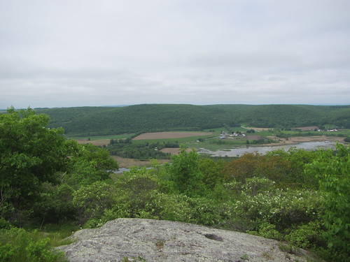
Good news about the official Terrace Pond hike: There were no bear sightings. The bad news was that it was a very hot day.

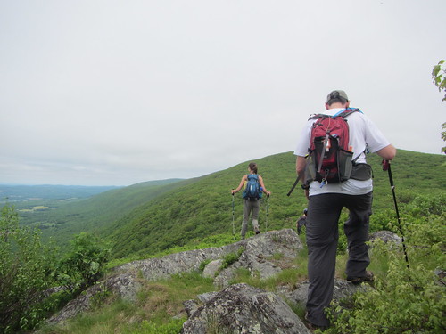
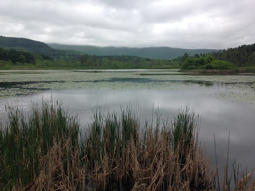
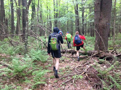
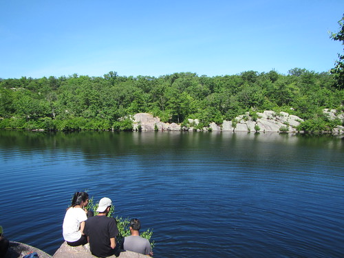
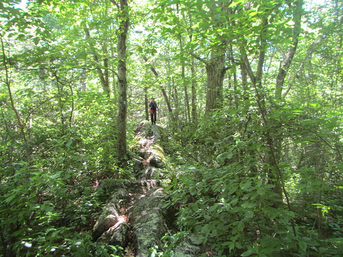
We made it to the pond, pausing briefly on the eastern shore, where the above photo was taken. Then we continued south a little further before heading north again, up the west side of the pond. The Terrace Pond Red trail, on the western side, needs some work; there are a lot of downed trees and overgrown laurel. (Supposedly the trail allows skiing in the winter, but there would have to be a good ten feet before the rocks were smoothed out.) This is is addition to the rocky outcroppings endemic to the area, which are quite attractive but up the challenge level.
Terrace Pond hike

We paused on the western shore for lunch, enjoying the company of a large turtle who lurked, looking for handouts. From there we returned the way we came.

As written, the hike then continues north on the Quail Trail, although the person who initially wrote it told me that part could be skipped. We had a couple of slower hikers in our group, and I was running out of water. So I told the more ambitious hikers to go ahead under the oversight of another of our members, while three of us took the early out.

We hiked close to 9 miles, with (according to my watch) 2,700 feet of gain.

Friday, June 15, 2018

The Mohonk Skytop Tower

Mohonk Mountain House

I had the opportunity to stay at the https://www.mohonk.com/">
Mohonk Mountain House briefly this week for a work conference. Most of my time there, of course, was devoted to the conference. However, the first evening I had a brief time to myself before dinner, and I decided to take a stroll up to the Skytop Tower.
It's an uphill stroll, to be sure, gaining about 400 feet over .7 miles - plus 100 steps in the tower itself. There are plenty of places to stop along the way, all of which have views of Mohonk Lake and its surrounding cliffs. At this time of year, the laurel is beginning to blossom.

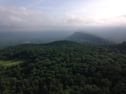
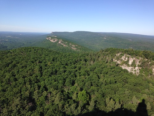
From the tower you can see the view above, the mountain house and lake, and the Catskills, depending which way you look.

In fact, the hike was so nice, I did it again the next morning, adding on a walk around the lake. The picture above is from the evening hike, when it was cloudy; the hike below is from the next morning, when the clouds had disappeared.

You can do the hike by paying a day fee to park, which adds on some length from the parking lot, or by adding on quite a bit of distance by coming from off the property altogether. One of the privileges of paying to stay at the (quite nice) hotel is having ready access to great views without the extra mileage!

Skytower and lake

Thursday, June 14, 2018

Scouting Terrace Pond

Terrace Pond scout

I'll save the full writeup for after this week's official hike, but last Friday I went to scout the hike I'll be leading this weekend. It was a return to Waywayanda, where we backpacked a few weeks ago. What I will tell you about is why I didn't scout it completely.

I was hiking alone through a very scenic pine forest with plenty of scrambly bits, when there was a loud crash off to my right. "That was loud even for a squirrel," thought I. It was not a squirrel, but two very small and very adorable bear cubs booking it up a tree. While I am no ursine expert, I knew this meant a not very small and not very adorable mama bear was nearby. I hightailed it back the way I came.

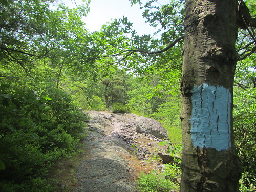
The photo above was taken not long before the bear incident, and does not reflect the lovely views, the cute waterfall, or the budding laurel that I also saw on this hike.

Saturday, June 2, 2018

Hiking the South Taconic Trail

South Taconic Trail

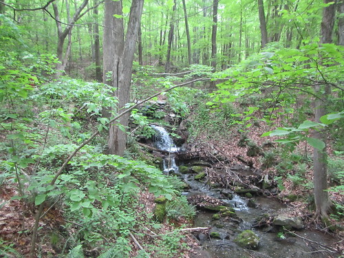
Our final hike of the trip was an 7.3-mile section of the South Taconic Trail, the newest, southernmost bit of it. Unlike the previous two days' hikes, this one was actually back across the New York state line. We hiked from the southern terminus at Shagroy Road up to the Quarry Hill trail, and descended on it to the parking lot. It featured several cute waterfalls and some magnificent open views. The hike started off flat, wandering past a pond, before heading uphill. Above you can see one of the cute waterfalls. Below you can see one of the earlier views.

  South Taconic Trail

 But then the hills really open up to this:

  South Taconic Trail

 The Quarry Hill route down is very steep and very fun scrambling most of the way. The first .3 miles or so follow a thin ribbon of a waterfall. It looked pretty in real life but did not photograph well. I did not realize the Taconics were so interesting. They're a little over 2 hours away by car, but alas there is really no way to get there by transit.

Friday, June 1, 2018

An easy hike around South Egremont

S. Egremont

On the second day of our adventure, I decided to take it easy and do a solo stroll. I started off from the cabin and walked to Mill Pond, pictured above. Then I walked through South Egremont, stopping at Mom's Cafe for lunch (aka second breakfast). I continued down the road, turning to meet the AT where it crosses the road. There is a monument there for Shay's Rebellion. If, like me, you don't really remember what it was about, the monument will not elucidate anything for you.

I followed the AT for 1.9 miles to a road crossing, where I ran into my cabinmates. Instead of following the road to close the loop, I turned around with them. We retraced the AT for a bit before cutting off into the woods to the cabin. It's a bushwhack partially on old roads, made a little less pleasant by the height of mosquito season.

S. Egremont

The full hike was 3 miles of road walking, 1.9 miles of AT, plus some amount of retracing and bushwhacking, so I'll guess 6 total miles, almost entirely flat.