Wednesday, December 1, 2021

The northern Mount Vernon Trail

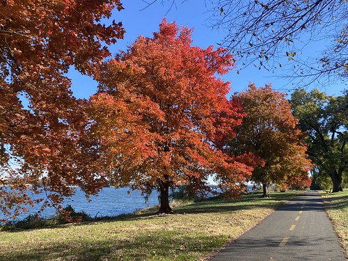
The original plan was to do the entire 17-ish mile Mount Vernon Trail over two days, but we looked at the gale-force winds on day one and said "nah." So we did the northern half of the trail, from Rosslyn to Alexandria's Old Town. Next time, we'll do the rest.

Mount Vernon trail Mount Vernon trail

Sunday, November 14, 2021

Circumnavigating Arlington via the Loop

Last weekend I tackled a longer walk, in part as a challenge and in part because it would let me see new parts of the city - the Arlington Loop. At 16.2 miles, the Loop uses the Custis, W&OD, Four Mile Run, and Mount Vernon trails to roughly circumnavigate the city, and is generally done as a biking trip. But there's no reason it can't be walked.

Arlington Loop

I did it counter-clockwise, starting from a point on the Custis Trail. I've done the Custis Trail previously, so I knew what to expect there there. However, the W&OD was pleasantly surprising. The first portion of it was in a wooded area and paralleled Four Mile Run (the creek). Four Mile Run (the trail) is on the other side of the creek. I'd like to do these two together as a loop sometime. The eastern end of the W&OD was my least favorite part, as it ran alongside a road and was not very scenic.

Arlington Loop

At the W&OD eastern terminus, the Loop follows Four Mile Run - less bucolicly than before, but nevertheless pleasantly. The creek really needs some litter pickup in this area, though. 

Arlington Loop

Where the creek empties into the Potomac, the trail turns north on the Mount Vernon trail. Given that it was sandwiched between a highway and National airport, it was nicer than it had any right to be. But note that from here on to the northern end of the Mount Vernon, the only restrooms are at Gravelly Point.* This park is just north of the airport and is full of plane spotters. From here on, the Mount Vernon trail is along the river, which makes for some nice views.

Arlington Loop

I was getting hungry, as I had only brought snacks, but it was too late to do anything about it. There are a couple of places on the Custis near grocery stores, and the eastern W&OD/Four Mile Run portion goes past some businesses. But the only business along this portion was one ice cream truck.

Arlington Loop

Finally, I reached the Custis Trail again, and finished the loop on home territory. 

*The maps advertise restrooms at Theodore Roosevelt Island, which is accurate. But that's really a long way off the trail.

Saturday, November 13, 2021

Hiking Black Hill Regional Park

As the fall leaves were turning, I trekked through DC to Maryland to hike with a friend at Black Hill Regional Park. It's a county park, but apparently Montgomery County insists on naming all of its parks as regional, local, or neighborhood, so okay. 

We walked about ten miles. This was right after a lot of rain, so the water was high in the creeks.

Black Hill Regional Park

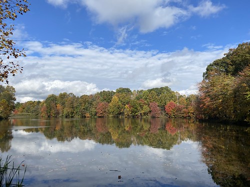
Some of the best views were the leaves reflecting in the dammed lake.

Black Hill Regional Park

Overall, it was about ten miles, and then I forgot to turn my tracker off on the bus/Metro until I was practically in DC, so I don't have exact stats.

Friday, November 12, 2021

Visiting Theodore Roosevelt Island

A few weeks back (still catching up on blogging here!) I visited Theodore Roosevelt Island. It's technically part of DC, but accessible only from Arlington. This relatively small island is wooded, with trails. The only other things on the island are restrooms at the south end, and a statue of Teddy Roosevelt near the pedestrian bridge. 

A lot of it is pleasant woods, remarkable more for feeling removed from the city than for the views. The soundscape is a different matter; you can't hear the bustle of the city, but you can hear planes and helicopters. 

Teddy Roosevelt Island

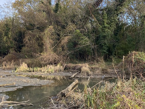
My favorite part was a boardwalk on the eastern side, surrounded by wetlands.

Teddy Roosevelt Island

Sunday, October 17, 2021

Finishing the Adirondack fire towers

This post is massively overdue, so instead of breaking it down into separate posts like I normally one, it'll be one big post for the entire trip.

In September, I headed up to the Adirondacks to finish up the fire tower patch. Although there are more than 18 towers there, you only need 18 to complete it. 

I started with Swede, as it had just opened after restoration, and it was about to close for hunting season. Swede is a very easy hike. It's short, not steep, and not rocky. 

Swede Mountain

On day two I did Hurricane, which was definitely one of my favorites. It has a bald, open top, so the views would be great even without a tower. I had planned to do a second tower that day, but the weather had other ideas.

Hurricane Mountain

On day three I had to squeeze two in. First up was Poke-O-Moonshine, which I had intended as a chaser to Hurricane. I've never seen a fire tower hike with so many steps and even ladders along the way. This made for a hike with a very different feel.
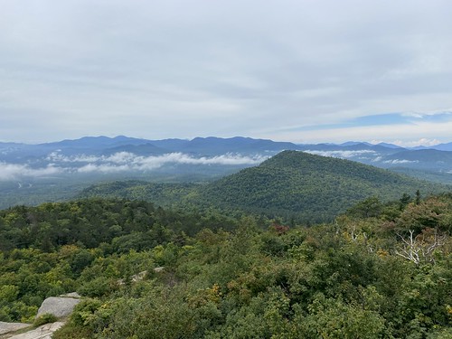
Poke-o-Moonshine

After that I did Black. I wasn't wild about this one. The hike was fine, but the fire tower has had a weird radio tower built over it, and you can't climb it. The view from the near the top are decent, though.
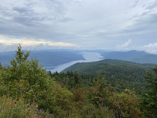
Black Mountain

Finally, I finished the challenge on Kane. It wouldn't have been my ideal choice for a finale, as its location in the central southern Adirondacks means the views aren't as fabulous, but the location made it ideal for breaking up the drive home. I managed to time it just right - it started raining just as I got into my car.
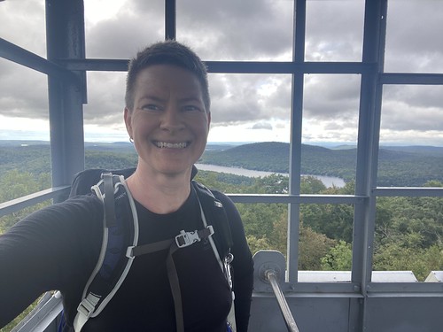
Kane Mountain

So that was the fire tower challenge! I would love the visit the other towers I didn't complete, but - I was about to move out of New York, putting them further out of reach. It's a great challenge, and it's a wonderful way to get terrific views.