Monday, August 8, 2016

The Long Trail, Part I: The Appalachian Trail

It's been radio silence around here as I spent three and half weeks thru-hiking Vermont's Long Trail. It was a tremendous experience, and I had about 900 photos to go through!

But let's start at the beginning ...
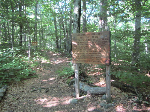
Welcome to the LT

I took the bus up from NYC to Williamstown, MA, and then the local BRTA #3 bus to near the trailhead. From there, I got on the Appalachian Trail going north. The LT may be 273 miles, but you can't just get on it - extra miles are required to access it at both ends. So my first 3.8 miles didn't "count," so to speak. I only went a few more miles, since most of my day had been taken up with bus travel, and when I rolled into the Seth Warner shelter, I was surprised to see Janel, Soft G, and Tuna Roll, who I had met on a weekend backpacking trip a few weeks previously. The shelter was rather full, thanks to it being a holiday weekend.
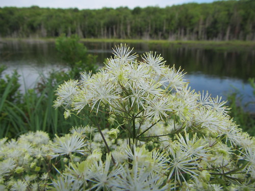
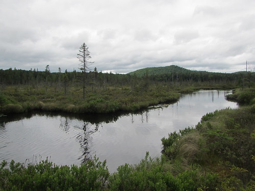
Beaver pond

Day 2 saw a steep climb down to Route 9, and a steep climb back up, but there was trail magic at the road - Mike and Steve had drinks and snacks for thru-hikers. I slept in a shelter for the first time that night, thanks to the predicted rain. I also met DR, Jazz Hands, and the Skittles - four young girls hiking the entire LT. I'd see them off and on again the entire trail.
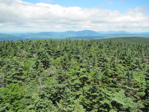
Glastenbury Tower

On day 3 we started getting some spectacular scenery as we reached Glastenbury Mountain with its fire tower. It was a clear day and the views were terrific.
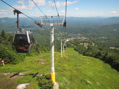
Stratton gondola

Day 4 led us up to another mountain with another fire tower - Stratton Mt. Luckily, I arrived early enough in the morning to beat the gondola crowds. After chatting with the caretakers, I took the spur trail to the gondola (free for thru-hikers), and rode down into Stratton Village for a sandwich.
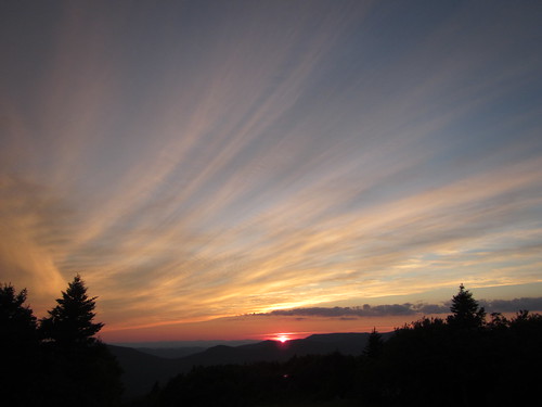
Sunset on Bromley Mt.

Day 5 produced yet another mountain view for us. I stayed at the Bromley ski patrol hut after a lower mileage day. We had a beautiful sunset on top of Bromley. Some people complain about all the ski mountains, and I respect their concerns about development vs. wilderness, but the ski areas do result in some better views, not to mention some nice huts.
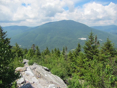
View from Baker Peak

On Day 6 I saw the first bit of trail that could use more maintenance; the northern slope of Bromley was quite brushy. In general, the AT part of the trail was quite well maintained. The highlight of the day was probably Baker Peak, where we hiked up a knife-edge of upturned granite, with a southern view at the top. Little Rock Pond was a very nice shelter, too.
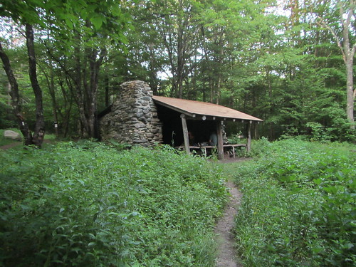
Gov. Clement shelter

On Day 7 I went into Wallingford to pick up my food resupply, have a real meal, and plug in my phone. With my pack newly heavy and the weather getting hotter, I climbed up another mountain, then started up to Clarendon via a steep, rocky ravine. This was my longest day on the trail, 19.4 miles.
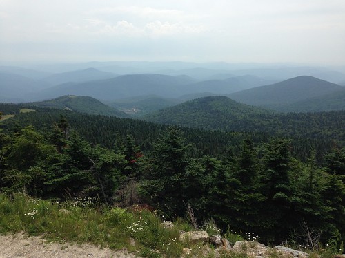
Killington view

Day 8 took me up yet another ski slope, to Killington Lodge. The trail doesn't go all the way to the peak, but I elected to take the spur up and eat at the lodge. Then down again, of course. As I approached the highway, I got caught in my first rain of the trip. I really couldn't complain - it had been a week of no rain except at night, which is quite unusual for the LT. But still, it was nice that this was to be my first town night. I stayed at the Inn at Killington, which I highly recommend. I had a really terrific salad there (no, really!), took a shower, and did laundry.

And here I pause, for we are almost to the 100-mile mark, where the LT and the AT diverge ...

Sunday, June 19, 2016

Gear for the trail

My Long Trail hike is getting startlingly close, and at last my gear list is coming together. I have almost everything, except food, and what's left is easy to buy and doesn't require testing - for example, small tubes of toothpaste. It looks like such a long list!

A few items are luxuries - you'll tear my inflatable pillow from my cold, dead hands - but most of it is basics. I thought about ditching the sun hat, for example, but a bug net doesn't work well without it, and I'm not bringing sunglasses. For comparison, here is the gear list of a seasoned thru-hiker. (You may notice I'm going stoveless. I'm a lazy chef when it comes to camping.)

One question remains, though - what book(s) should I load up on my Kindle reader for evening entertainment, on the evenings I have the energy to read?

Thursday, June 16, 2016

Backpacking Harriman

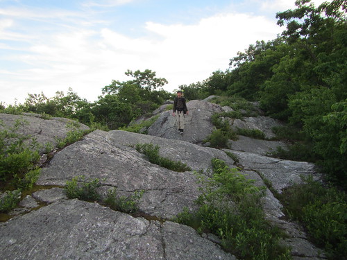
More rocks

We got back home from the Adirondacks, and I turned right back around and went backpacking in Sterling State Forest and Harriman State Park - part of getting ready for my Long Trail trip.

The trip started at the Bellvale Creamery, and was only two miles long that night. We hiked to the Wildcat Shelter on the AT and set up our tents.

The next day, the trip got difficult. The next AT shelter was 14 miles away, and they were hilly miles. (My watch indicated over 4,000 feet of elevation gain, but I don't know if that's accurate.) We encountered numerous AT thru-hikers and section-hikers, and I felt pretty slow compared to them. Also, my allergies acted up, and I got chafing in uncomfortable places due to poor apparel choices. It was a rough day, even if it was beautiful and the promised rain never materialized.

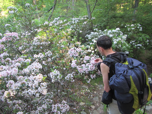
I went to bed alarmingly early and slept hard. We decided to take the shortest way out on our final day, which was about 7 miles. Overall, it was flatter, which made the going easier. We also enjoyed a great deal of laurel, which was in full bloom.

Mostly, my gear worked - I need to make a few small tweaks, but the basic setup is fine. Now, the question is just whether I can do enough miles per day to reach the end in the time I've allotted myself.

Smell the flowers

Tuesday, June 14, 2016

A stroll around the VIC

Bog On our last full day in Saranac Lake, we decided to do a little bird-watching, and to that end we went to Paul Smith's College Visitor Interpretative Center. It has several miles of trails, and the 1.5-mile Boreal Life Trail is supposed to be good for birdwatching. It winds through both forest and bog. Well, we didn't see any birds, but we did see some interesting plants, as well as attractive scenery.

Monday, June 13, 2016

Hiking St. Regis (Saranac 6 no. 4)

St. Regis

St. Regis wasn't as nice a hike as the previous three Saranac hikes, through no fault of its own. We were beset by rain, plagued with a minor physical ailment, possessing a case of the grumps, and overrun by dudebros at the summit. I'm sure it's a very lovely peak if things work out for you.

Knowing there was a probability of rain, we set out anyway, and partway up the skies opened. The trail was, to put it charitably, dampish. There is some moderate scrambling, but the rain didn't seem to compromise our safety.

A ledge near the top offered what would be a nice view on a clearer day, and it wasn't far from there to the top. The tower at the top is being renovated, and while the stairs and essential structure have been repaired and deemed safe, the tower needs a new roof and glass for the windows. Technically, therefore, it is still closed, which seemed to deter none of the visitors.

We wouldn't break the rules, but if we had, it's possible we wouldn't have stayed very long, only to find on the way down part of a large group of college boys heading up because "they had earned it." Hey, boys, we all climbed the same mountain. Somehow, they managed to take up the entire summit, loudly.

(Reminder: Folks, share the summit. We ran into something similar on Baker, which only has a very small viewpoint. You're entitled to a few minutes at it (or longer if no one else is around), but this isn't like claiming land in the name of France, which never worked that well anyway).

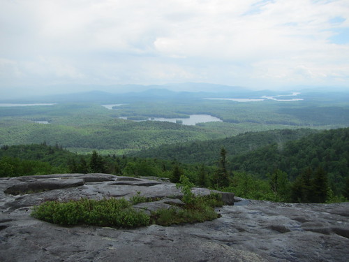
In spite of the rain, we had some visibility; below is the clearest shot we got from the top.

This was the last of the Saranac peaks we were able to attempt on this trip. That leaves Haystack and - the toughest - McKenzie.

St. Regis