I finally got to take a substantive vacation, spending eight days in the Adirondacks. While I was there, I hiked a bunch of fire towers, completing the Hamilton County Fire Tower challenge and the Indian Lake 4-3-2-1 challenge.
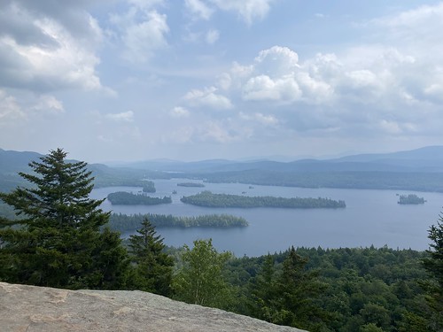
On my first day, I did Spruce Mountain, in the southern Adirondacks, to break up the drive. It's a relatively easy mountain, even though it has a good elevation gain; there isn't any scrambling or anything tricky. The views from the top are nice, although not as dramatic as the mountains farther north, where you can see the high peaks.
Then, after checking in to my campsite, I did one of the Indian Lake hikes, to Bullhead Pond. It's quite short, and the pond looks pleasant, but it wasn't a show-stopper. It was also a little hard to find - farther up the road than I expected.
I went on my first backpacking adventure in a year and a half this past weekend - three days in the Catskills.
There aren't many places in the Catskills where one can get off of a bus and hike without a really long roadwalk/arranged ride to a trailhead, but the northern end of Dry Brook Ridge is one of them. The plan - which we successfully executed - was:
So this was something of a "cheat" backpack, since there was no need to carry all our gear for the long day. Originally, I had planned to hike alone, but a friend who is keeping in shape for an upcoming CDT section hike was looking for trips, so I invited him along. This worked out great, as I don't think I would have made it through the second day by myself. But when I say "we" didn't need to carry our gear, I mean "me," since he chose to carry it for training purposes.
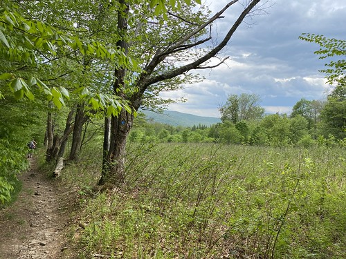
The hike up German Hollow is short, even with the roadwalk, but steep, gaining 1,500 feet over 2.5 miles. On the second day, we lost all that elevation going down the loop (it seemed preferable to ending the day by going up that hill!), then regained it. The next five miles were modest ups and downs through very overgrown trail, followed by a smaller descent/ascent. That day finished up along the Dry Brook Ridge, with our only views of the day. The final day was relatively easy - all downhill - with one nice viewpoint.
We did have to make a few adjustments. One, we had planned to tent near the shelter, but this proved impossible due to wild overgrowth. We stayed in the little-used shelter, which actually worked out well, as it rained the second night. It was nice not to have to put away wet tents in the morning! Two, the Margaretville bus stop has moved since the 2018 NYNJ Trail Conference maps were published. It's actually much more convenient to the trailhead (right where Fair St. crosses 28), but we didn't know it ahead of time and had to figure it out on the fly. If I were doing it again, I would probably take the early afternoon bus, rather than the second afternoon bus. One could even do the morning bus, if one didn't want to be leisurely on the way out.
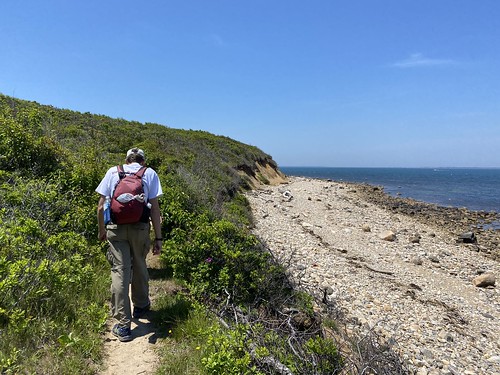
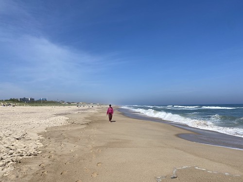
This past weekend a few of us from our hiking club tested out a hike planned for later the summer. We started at the Montauk train station, then headed along the sound through Hither Hills State Park. The second half of the hike followed the southern shore of LI through Napeague State Park to Amagansett.
While it was a hot day in the city, it was much cooler out there, which was very pleasant. The first half of the hike was relatively easy, with mild ups and downs, mostly in the woods with occasional pops out to the beach. Once we reached the sandy beach to the south, the hike became much more difficult, despite being fast. Walking on sand is hard and it's also slower. We ended up cutting in to the streets early to make it to our train on time.
The hike clocked in at 15.5 miles; the elevation gain is unknown.
I joined the Catskill 3500 Club for a hike for the first time in over a year (thanks vaccines!) for hike up Balsam Lake Mountain via Mill Brook Ridge. My previous two jaunts up that peak had been round-trips from the north. Mill Brook is a longer hike, making it perfect for a shuttle and thus for a group hike.
We started at Alder Lake, following the north shore of the lake, then began the gradual climb to the top of Mill Brook Ridge. This is one of the Catskill 100 highest and was as a stand-in for Doubletop during the past year. (It only misses the 3500 criteria by 20 feet.) We followed the trail as it descended, followed a ridge, and climbed again to end at a junction with the Balsam Lake Mountain Trail. From there, it is only .25 and mostly flat to the tower.
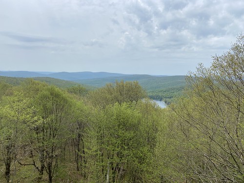
While the tower cab wasn't open, we could walk to the top of the stairs and get a fine view.
Hiking out was only 1.5 miles, starting out quite steep and moderating to flat at the end.
A couple of us returned to the start and did a full loop around the lake. This is almost entirely flat - there is one very modest hill.
Total mileage for the day was 10.8 miles.