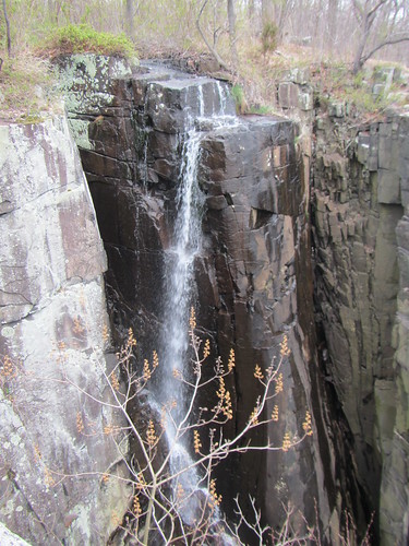
 I was supposed to hike the Ramapo-Dunderberg Trail end-to-end this past Saturday, but it ended up being cancelled on account of the weather forecast. Snow was being predicted, and the RD has a lot of rock scrambling. I still needed to get some miles in, though. Instead, I hiked the Long Path along the Palisades.
Starting from Fort Lee, just north of the GW Bridge, I hiked up the Long Trail to the state line, where it turns west and heads inland. I turned south there onto a side trail, looping back to the State Line Lookout, and followed the Long Trail back to the Alpine Cloister exit and caught a bus home. The total distance was 17 miles.
I've hiked this area several times, but last time I was at the northern end, I somehow got lost. This time, the route was much easier to follow. Was it user error? Easier route-following thanks to the leafless trees? In any case, I definitely hadn't seen the northern bit properly before.
Along the way, some light snow did start to fall, before turning to a wintry mix. It wasn't dangerous, as the trail doesn't have the scrambles the RD does, and I was appropriately dressed. Still, I was a little lazy, and didn't hike quite as far as I had intended. ("Only" 17 miles is relative, mind you - I had wanted to do more simply as a better test of my readiness for the SBM in two weeks. However, with easy outs and no one to push me, laziness comes naturally.)
No comments:
Post a Comment