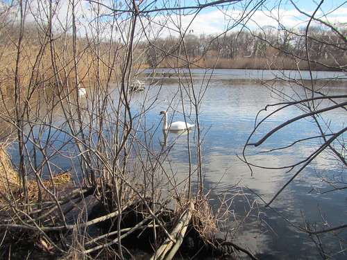
Even as I planned to go on the Ramblers hike on Sunday, I had little idea of what to expect. Yes, I had looked at Google Maps, seeing that it was a 14-mile drive between the two train stations. Yes, I know Long Island is mostly flat. But I didn't see much in the way of green space on that map, so I was worried it would be a lot of suburbia.
My fears were unfounded, in the end. We went near a lot of suburbia, but not through it. Turns out there is a thin green corridor running nearly the whole way. Much of this is Trail View State Park, land that was bought for a highway that was never built.
It is true that at the very end, we had to walk about a mile alongside the road, and along the way we had some road crossings: This was by no means the wilderness.
Still, most of the trail was surrounded by trees ("green space" being an not entirely accurate term this time of year). It was almost entirely flat, aside from a few small hills at the end. We totted up 17 miles, although part of the group took a longer detour at the end.
One quick note: We had an exhaustively detailed hike description from a hiking book, but there are a lot of trails that criss-cross each other and aren't always well-marked. This isn't so much true where the trail is in a thin corridor, but where it passes through parks it isn't easy to follow. Be warned.
No comments:
Post a Comment