Saturday, August 15, 2020

Metropolitan and Grand Bridges

This wasn't a long walk, but last week I found myself in Williamsburg for my first haircut in five months, so I took advantage of this to explore some new territory.

I walked through the East Williamsburg Industrial Park towards Newtown Creek. Now I don't know Williamsburg at all but was surprised to see industry so close to hipster living. If anything, I would have guessed the hipsters would have colonized, but I guess the industrial park designation helps prevent that.

The Metropolitan Avenue Bridge crosses a channel of Newtown Creek, affording views of said creek. The bridge itself is nothing architecturally interesting.

Metropolitan Ave Bridge

The Grand Street Bridge, which connects Brooklyn and Queens, is a different story. It looks a bit shabby chic and has a surfeit of character.
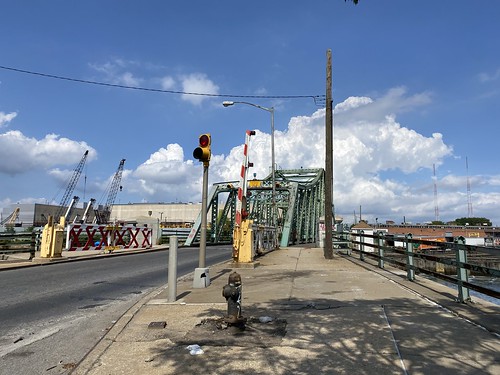
Grand St. Bridge

There are nice views of Manhattan from the bridge itself.
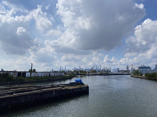
Grand St. Bridge

Willis Ave. and Third Ave. Bridges

In the vein of "that's three miles away, why haven't I been there," I walked over to the Willis Avenue Bridge and Third Avenue Bridge this morning. Both bridges connect Manhattan to the Mott Haven neighborhood of the Bronx over the Harlem River.

The Willis Avenue Bridge only has a pedestrian/bike crossing on the north side. Bike traffic, particularly delivery vehicles, was fairly high. From it, you can see the Harlem River Lift Span to the south, and the Third Avenue Bridge to the northwest.

Willis Avenue Bridge

The Third Avenue Bridge has pedestrian/bike walkways on both sides; however, on the Bronx side, access to them is a little confusing. The pedestrian stairs to the north span are closed, but you can use the bike ramp. Pedestrian and bike traffic was almost nonexistent.

Third Avenue Bridge

I made a bonus stop at the Crack is Wack playground, which has two Keith Haring murals.

Crack is Wack

I wish there was more waterfront access here, on both the Manhattan and Bronx side. The Willis Avenue Bridge does have a ramp down to the Manhattan shoreline, but it is fenced off.

Tuesday, July 28, 2020

Back with the Ramblers


Did my first hike with the Ramblers since COVID came to town, on a shortish hike in Harriman State Park. The total mileage was only 8.71, with 1,180 feet of elevation gain. (Let's round to 9, shall we?) But it was a hot day, so that felt sufficient to me.

Pine Meadow

We started from Sloatsburg and followed the Pine Meadow Trail to Pine Meadow Lake. This part of the hike was the busiest I've ever seen Harriman - not just hikers, but families partying by the creek and at the lake. I know it's outdoors and therefore safer, but I was still uncomfortable with how many folks weren't wearing masks.

Pine Meadow

We ate lunch at a shady, breezy spot by the lake - past the party scene - and then three members of the group departed in search of a longer hike. The rest of us hiked out on the Kakiat Trail, which was much emptier.

Pine Meadow

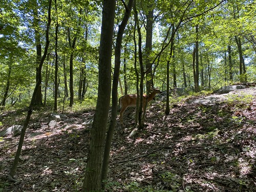
Late in the day was one of our best moments - we came across a snacking deer. This deer saw us but did not care!

Tuesday, July 14, 2020

Catfish Looping

On my final day, I didn't feel like hiking - I was tired. But I had come all this way, so it seemed a waste not to. So I picked another recommended hike, the Catfish Loop.

  Catfish Loop 

Let's get the bad out of the way. The disappointments: 
  • No catfish (okay, I didn't actually expect any) 
  • The viewpoint marked on the map had no view at all 
  • Overgrown laurel, very wet from the previous day's rain 
  • Odd keep-out signage on part of the trail. 
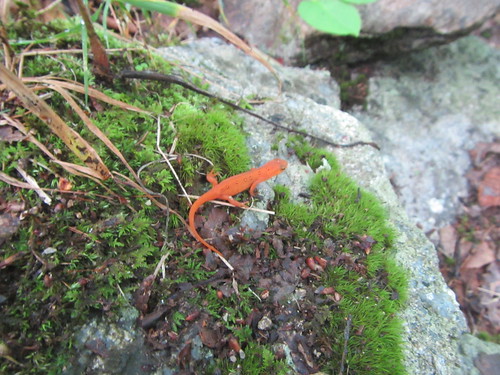
Despite this, it was an interesting hike, in part because I saw a lot of eft newts. It might be best to go during peak laurel. Here's a photo of the "view" from the viewpoint marked on the map. (I would blame my map being from 2012, but it's on the 2018 version, too.)

  Catfish Loop 

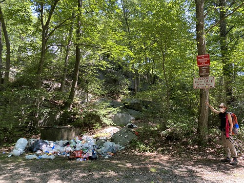
The keep-out signs are along the part of the trail that is near the Taconic Outdoor Education Center. They rattle off a list of don't, one of which is "No Hiking." Now what it seems to mean is no wandering off the trail and hiking in the woods (fat chance in a laurel thicket!), but it's rather unnerving to see as one is walking on a perfectly open and legal hiking trail. 

It was a nice final hike before returning to reality and NYC.

Monday, July 13, 2020

Getting to all three lakes

I wanted a flat hike on Wednesday, so I opted to do the 3 Lakes Loop, as suggested in the park brochure. The 3 Lakest Trail starts at Canopus Lake, passes Hidden Lake, passes John Allen Pond (hey, not a lake!) before ending at Dennytown Road. But to do the loop, I exited 3 Lakes at Sunken Mine Road, returning via the Old Mine Railroad, 3 Lakes, and the AT.

  Three Lakes Loop 

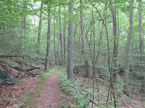
I found the trail to be rather charming, especially on a foggy morning that gave me Adirondack feelings, and I'm not sure the photos really capture that.

  Three Lakes Loop 

The bit of AT south of 301 is interesting, too, in that it's on a built-up berm rather than following the contours of the land. I don't know what the story is here - if this is also part of an old railroad, or something else. 

The only part I didn't love was the large number of mosquitos. A lot of this trail is low and near marshes, so it's not suprising that our bloodthirsty friends were out. 

One last photo of a stream crossing - the orange is iron mine runoff, but I don't know what the cloudy yuck is.

  Three Lakes Loop