Saturday, February 24, 2018
Hiking to and from camp
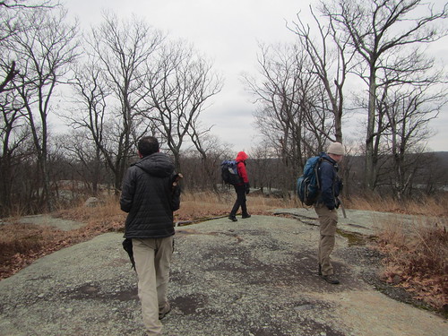
It wasn't the plan, but we hiked the same route in and out of camp last weekend. The route in was chosen as the shortest and fastest. We thought we'd mix it up on the way out.
Except there was still a lot of snow, and it was very slippery, so we decided once again to go shortest and fastest.
Friday, February 23, 2018
Looking for the pond
In our second day at camp, we decided to hunt for a pond. One of our group was planning to lead a hike in Harriman in a few weeks and wanted to scout part of it - for the second time. The first time, they had taken the wrong woods roads and ended up south of where they intended. This time, at least we knew one turn to avoid.
(This may be the only time I criticize NY/NJ trail conference maps, but they don't adequately show all the old roads, leading to situations like this.)
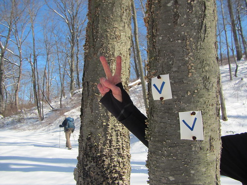
We hiked from camp to the Victory trail, which is marked with blue "V" blazes. It had snowed overnight, so the going was a little slower than usual. The Victory trail follows an old road before turning back off into the woods; at that point, we stayed on the road.
Alas, we did not end up in the right place this time, either - instead, we were slightly west, ending up on Masonic Camp Road.
Perhaps the third time will be the charm. However, this outing was plenty charming, as everything looked quite nice in the snow.
Wednesday, February 21, 2018
Diamond Mountain Tower End-to-End
We spent the weekend staying at a cabin in Harriman State Park and doing some hiking. Since we arrived at camp around lunch, we had all afternoon to hike. I was curious about the short trail called Diamond Mountain Tower, which was not far away. There is no tower there at present, but we were curious to see if we could find any remains of it.
Thus began the hike we jokingly called the "Diamond Mountain Tower End-to-End." The DMT itself is less than a mile long, but there is a tradition in Harriman of doing "end-to-end" hikes - albeit usually on longer trails.
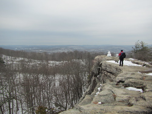
We hiked out on the TMI before turning south on Seven Hills. At the intersection with the Diamond Mountain Tower trail, we turned onto its northern end; the tower site was not far. The photo above is at the tower site. Small holes in the rock are all that remain of the tower itself.
The trail then went downhill to Pine Meadow Creek. As we reached the creek, we saw a concrete structure that we needed to investigate.
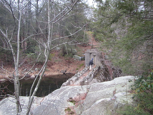
It was a dam that was started by the CCC but never finished, intended to provide water for planned campsites. Just below the dam was another peculiar structure.
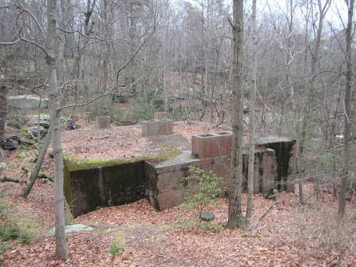
Apparently, this was a septic tank, built as part of the same project - but never used.
The DMT headed uphill again and rejoined Seven Hills; we looped back to the TMI and our cabin, getting caught at the end in the snow that was beginning to fall.
Round-trip, this hike was about 4 miles. If you were driving, the closest parking lots are the Sebago boat launch and the Reeves Meadow Visitor Center; Sloatsburg or Harriman are the closest public transit.
Monday, February 5, 2018
Scenes from a city hike
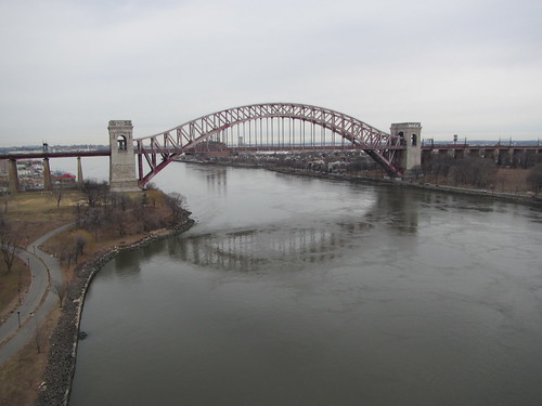
Sunday's Ramblers hike went through all five boroughs, although I dropped out after about 12 miles and only four boroughs.
It was my first time on Randalls Island.
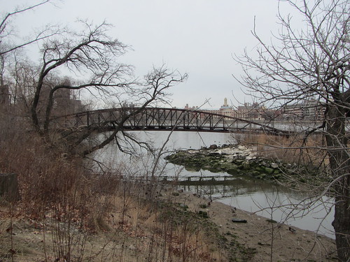
There were a few spots where nature seemed to dominate.
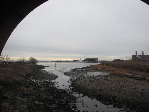
But there was mostly infrastructure.
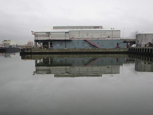
Industrial infrastructure.
It was my first time on Randalls Island.
There were a few spots where nature seemed to dominate.
But there was mostly infrastructure.
Industrial infrastructure.
Subscribe to:
Posts (Atom)