Sunday, December 31, 2017

2017 in photos

January:

Balsam

February:
Staten Island

March:
Lake Minnewaska

April:
Cherry blossoms

May:
Great Saunter

June:
North-South Lake

July:
Table & Peekamoose

August:
Feeding

September:
The capitol

October:
Coney Mountain

November:
Jessup's Neck

December:
Bombay Hook

Thursday, December 28, 2017

A tour of Bombay Hook NWR

Bombay Hook

On my last day in Delaware, I visited Bombay Hook National Wildlife Refuge. Also, I finally learned that "hook" is from the Dutch word for "point," which clears up one mystery.

Bombay Hook isn't a place to go if you want to feel like a badass hiker - there are two miles of trails total, all dead flat, although there were some folks walking on parts of the 12-mile auto loop. But that's not what it is designed for, recreationally speaking; it's for hard-core bird watching. Even on Christmas Eve there were folks out with scopes and binoculars. In any case, I was sick, and two flat miles were enough for me.

I drove the auto loop and walked each of the five trails, four of which are .25 miles and one of which is a mile. Three of them have wildlife viewing towers.

The highlight of the trip was not while hiking, however. While driving along Shearness Pool - a popular place for bird-watchers to stop - I saw a large flock of birds in the sky. I mean literally the largest flock I have ever seen, thousands of birds with no end in sight. All of them landed in Shearness Pool. They were snow geese (thanks helpful park signs and Google!) heading south for the winter.

This isn't a great quality video - I was on my phone - but it gives you an idea of the immense scale.

Wednesday, December 27, 2017

Hiking Brandywine Creek State Park

Brandywine Creek SP

When I asked what there was to do in Wilmington, several people mentioned Brandywine Creek State Park. My plan was to do a short loop hike or two as indicated on the park map, such as the Tulip Tree Wood trail. However, at the visitor center, the helpful staffer suggested crossing the creek to Thompsons Bridge and hiking the bike trails on that side. The trails on the north side also go onto a national park and a farm; the farm has been donated to the park, but at present the farmer still resides there and happily permits hikers to use the trails that cross it.

I didn't ask for advice not to take it, so I parked on the north side of the creek and followed a trail along the creek for a while. In fact, I went so far as to take his other advice that I download and use the Avenza map of the bike trails. Bike trails tend to pack a lot of unmarked trails into a small area, and so this turned out to be excellent advice.

I then turned uphill, towards the high point of the park. There I left the woods and skirted fields before starting back downhill.

Brandywine Creek SP

The trail I followed downhill did not go all the way back to the creek in any convenient way on the map. However, given the number of trails not shown on any map, I gambled that there would be one anyway, and my gamble paid off. (Here the app was also quite handy to keep me on track.) I reached the creek and followed it back to the parking lot. All told, it was 3.45 miles and about 500 feet of elevation.

The landscape reminded a great deal of Wissahickon Valley Park, which shouldn't have been a surprise as they are only about 30 miles apart. Further south, Delaware gets flatter - it is the sixth flattest state (but it has the lowest mean elevation). So this is probably the biggest hill you can hike in the entire state.

Tuesday, December 26, 2017

Strolling the Wilmington Waterfront

Wilmington Riverfront

Having never visited Delaware before, I spent a few days in Wilmington and Dover over the holidays. On my first day there, I walked the Wilmington Waterfront and visited the Russell W. Peterson Urban Wildlife Refuge.

The Riverfront is a 1.3-mile greenway along the northwest side of the Christina River. One thing I enjoyed about it was that the old loading cranes were left in place, even though they were no longer being used. I saw quite a few waterfowl out on the river - more than I saw when I got to the refuge.

Wilmington Riverfront

At the moment, due to construction, there is a short detour off the greenway to get to the refuge, which is at the southern end of the Riverfront. The refuge has an education center and a quarter-mile boardwalk through the marsh at the edge of the river.

It's a nice use of waterfront space and a good spot for locals to get a short stroll in.

Saturday, December 9, 2017

Hiking Wissahickon Valley Park

Wissahickon
This week's Ramblers hikes was in a state I've never hiked in, so I couldn't resist. Mind you, it was in a state I've been in - not to mention in a city I've been to many times. It never occurred to me that the city of Philadelphia would have good hiking - but Wissahickon Valley Park is truly both right in the city and very much a real hike.

OK, it's not wilderness - there is ample evidence of bridges and other similar improvements - but you rarely see houses or roads. The park surrounds the Schuylkill River, making for a scenic walk.

Getting there took three trains to Chestnut Hill and a road walk. Once in the park, we walked southeast until we exited the park and followed a greenway to the 30th St. train station. The greenway was sandwiched between the river and a busy road, so while the river was still nice, it wasn't as magical. The highlight here was walking past the boathouses along the river. I don't know if this is a Philadelphia thing - I've never seen anything like it anywhere else.

Wissahickon

Monday, December 4, 2017

Exploring Birch Creek Owl Pond Park

Birch Creek Owl Pond

Hiking on Long Island can be a weird experience. There are a fair number of trails, but information on them is scarce, and they aren't typically well marked.

J and I tried to go to a hike in the pine barrens mentioned in my LI hiking guide, which isn't a very helpful guidebook. Now I mean no disrespect to the author's knowledge - he clearly knows a lot about the area. But it isn't arranged well as a guide. Often, it's not clear which trailhead to park at, for example, or the map isn't sufficient guidance. Which might be fine if there was enough info online or at the trailhead.

Birch Creek Owl Pond

So when we got to this park, every parking spot was marked "for archery permit holders only," and, one, we didn't have an archery permit, and two, that didn't make us feel very safe, what with it probably being some kind of hunting season. Fortunately, while looking for the park we had seen a kiosk at the start of another hiking trail. We decided to try it with really no idea of what we were in for.

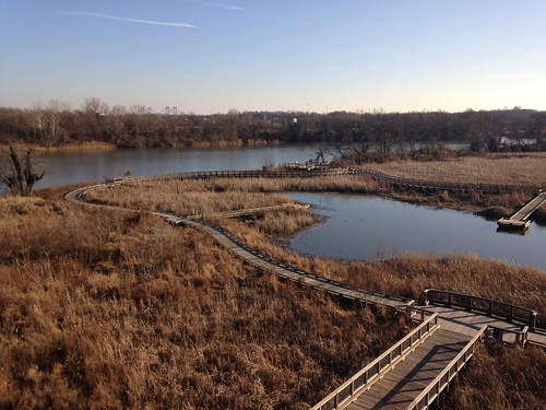
Birch Creek Owl Pond Park (a name with at least two too many nouns) is, per usual, not easy to find info on. When I Googled it, tide tables and sunset times were among the top results. Nor was a map posted at the trailhead.

Birch Creek Owl Pond

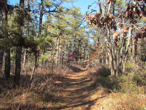
Without guidance, we had to make random decisions about turns (with the occasional assist from Google Maps). Handwritten signs pointed to various landmarks, with no suggestion of how far they were. (Answer: In some cases, in other parks entirely.)

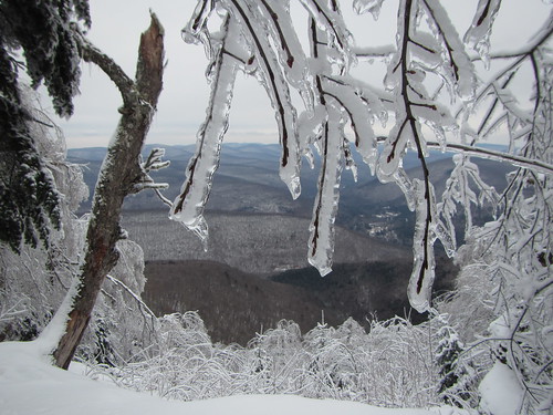
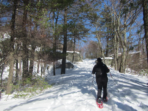
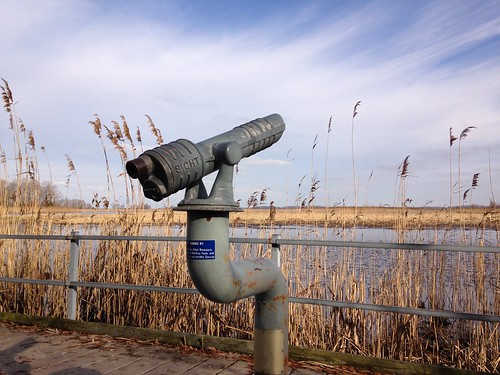
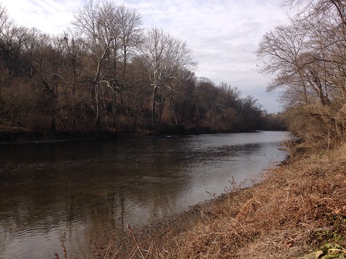
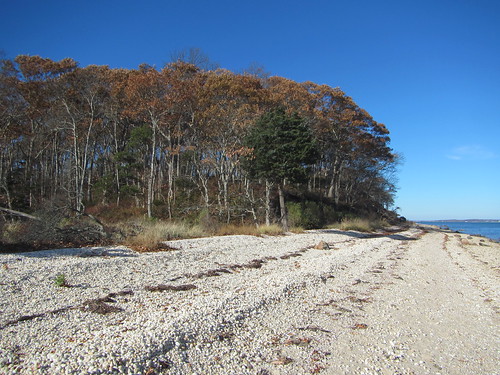
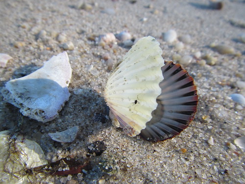
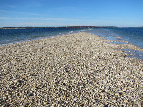
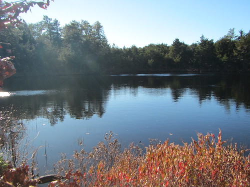
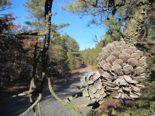
The good news was that it was a very pretty park, so well worth exploring. We only did about 2.5 miles.