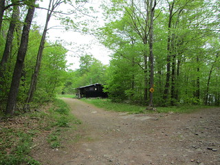
I was a little nervous about hiking Kaaterskill, since it was the first of the 3500 that wasn't entirely an official trail that I was doing alone. It's not a true bushwhack, but there was always the potential I wouldn't be able to find my way.
I chose to approach from the shorter route, Plattekill Clove in the south. The beginning of the hike is on a true trail, part of the Long Path and also a snowmobile trail. Officially, there is a juncture that takes you south to another snowmobile loop, and from there an unofficial trail heads across the summit and down the other side, reconnecting with the snowmobile loop.
However, being lazy, I decided to take the shortcut trail that has been made to the inner loop, and from there proceed north to the summit. (I'm not actually sure that it's shorter, though.) I was worried I wouldn't see the shortcut, but it was
hard to miss. It was mostly easy to follow, aside from one confusing spot, but then it popped right out onto the inner loop. I followed it counterclockwise, again worrying I wouldn't see the unofficial trail to the peak, but again
it was obvious. The trail itself does actually have blue blazes.
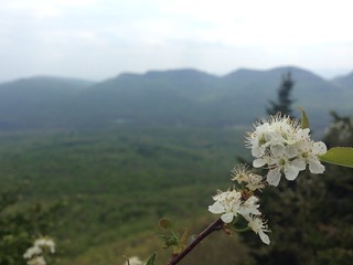
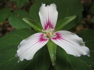
The trail up the peak is steep and requires scrambling, near-vertical in spots. It takes you up to Hurricane Ledge. If I remember right (and I hope I don't), someone said there wasn't much of a view from here, and that's not the case at all! You can see Twin, Sugarloaf, and Indian Head across the valley.
From Hurricane Ledge to the summit is a more reasonable walk rather than a scramble. There is no canister, but I found a geodetic marker. I gave a brief thought to crossing the peak and coming back the proper way; that thought died when I couldn't find the trail, just one to another ledge. I went back the same way I came.
Do this hike on a day with views, and when it's dry - you would not want to scramble up the rocks when they're wet. If I were to do it again, I'd loop around to the north properly, and also perhaps hike out to Huckleberry Point. My time was limited, though, due to an afternoon start.
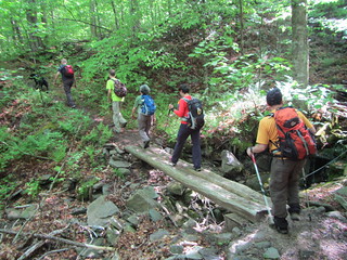 For the final hike of my long weekend, I hiked Fir and Big Indian with the Catskills 3500 Club. Both peaks are bushwhacks, but Big Indian only technically - an easy herd path of .25 miles connects it to a trail. Both peaks are also viewless.
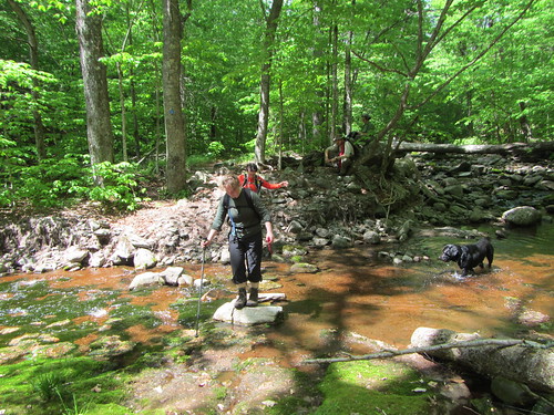
 Bearpen and Vly have the distinction of being the only two 3500 peaks that are outside the "blue line" that bounds the park. Often done together, the two are technically not trailed peaks, but no one could possibly call them bushwhacks.
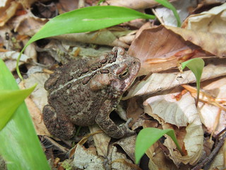 We went up to Vly first. A canistered peak, it doesn't have any real views. At some spots, you can turn around and see Bearpen behind you through the trees. Even though the trail is unofficial, it is marked with blue paint blazes. It's steep but otherwise unremarkable.
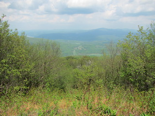 Bearpen had a brief life as a ski hill, and at the top you can see the remains of the lift as well as some other old equipment, including a car. There is a nice view at what I presume was the top of the run.
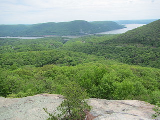 I'll be leading the annual Torrey Memorial hike for the Ramblers this fall, and I decided to go ahead and scout it now. I'd already planned the route, but I wanted to make sure it would work.
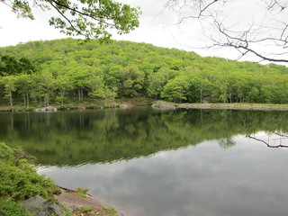 After descending, we continued on to Queensboro Lake via a mostly flat trail. At that point, we realized we really needed to hike faster and proceeded on to Turkey Hill Lake (second photo), and uphill to the memorial. The memorial is hard to miss, being carved right into the rock of the trail, and is another site for great views.
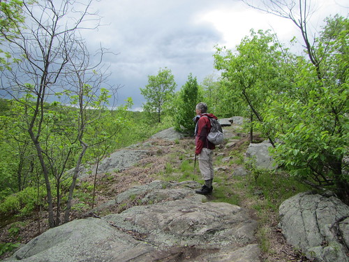
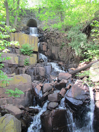 This was a short hike, across the George Washington Bridge, up along the Palisades to the Dyckman Trail down to the shore, and along the shore back to the bridge. My hiking companion was keeping an eye out for birds, so there was a great deal of stopping to peer through binoculars. Alas, the birds don't typically stick around for photos, so what you see here is a waterfall that runs down the Palisades.
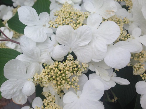
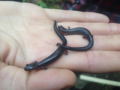 The first Saturday of the month is Van Cortlandt Park trails crew day, and this month we dug out some drainage ditches that had filled up. While we were out, we saw several of these little guys.