Tuesday, December 31, 2019

Walking in Lebanon

I was wondering if I could take any interesting walks while at home, and I found the Build Lebanon Trails website, which describes current and future greenways. During my visit, the fam did two of the most scenic local walks.
Mark Slough

The first of these was Marks Slough, starting at Had Irvine Park. It's just over two miles of paved, flat trail. Mostly, it's pretty, but there are some spectacular views as it passes by the Santiam River.

Cheadle Lake

The second was a walk on the North Shore and Island Loop Trails by Cheadle Lake. Again, it was flat, although sections were unpaved, as we walked a bit over 3 miles. If one covered every bit, it would be more like 4.

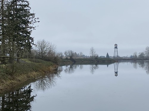
The lake is supposed to be good for bird watching, and we saw geese, ducks, a heron, and an egret. Also, of course, the lake was pretty, and the North Shore trail was on a narrow strip of land between the lake and the canal.

Many of the other trail sections that we skipped are shorter, or cross more streets. You could piece together a much longer walk if you wished.

2019 in photos

January:
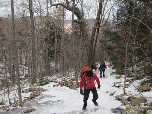
New year's day hike

February:
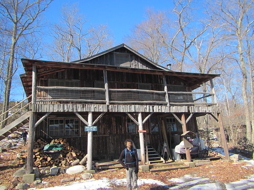
Camp Nawakwa

March:
Black Dome and Thomas Cole

April:
RD end-to-end

May:
Westchester hike

June:
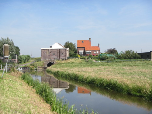
Netherlands

July:
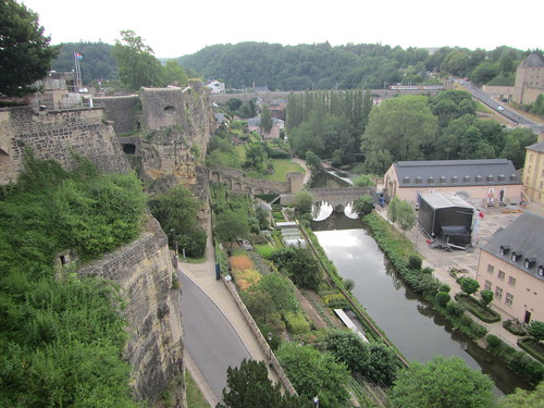
Luxembourgh

August:
Harriman

September:
McKenzie

October:
Impeach

November:
Batona Trail

December:
 The Six

Sunday, December 22, 2019

Hiking "The Six" in winter

A hiking buddy convinced me to do The Six in winter, despite thinking it was more than enough in summer, when there is plenty of daylight. So off we went.

The Six

First, we headed up Friday, which is a long, slow hike. M, our hike leader, set a nice slow pace that would be easy to keep all day. But once you get up Friday, you've gained the biggest portion of your elevation for the day.

The Six

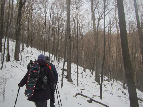
Just past the summit you'll find the above view. From there we proceeded to Balsam Cap. Even though the first four peaks are not on trails, we were helped by following a recent set of snowshoe tracks. I will say that the snow, while it takes effort, does reduce the number of trip hazards as compared to the summer.

Lone

After Balsam Cap, my only photos are of the summits - it was getting colder and my camera was hard to get to. The photo above is of the last off-trail peak, Lone, which you can see we reached in the dark. From there we got onto the trail to Table and Peekamoose.

(This makes the latter two the Catskills peaks I have climbed the most times, at four each. Er, and also Slide, I've also done that four times.)

We didn't get back to the cars until about 11:20, so it was a very long day. And now I really don't have to do The Six again!

Sunday, December 15, 2019

Following the Hudson Greenway

I have a major hike next weekend, so I wanted to do some elevation today. However, I had a party last night, and even though I didn't overdo it (except in the sense of eating too many cookies), I did need to sleep in. So, rather than taking a bus or train somewhere, I just set out from my house, heading north through Riverside Park.

Manhattan walk

I decided to take as many opportunities as possible to gain or lose elevation. It wouldn't be Everest no matter what, but there are plenty of stairs and more modest slopes in in Riverside Park. I made it to (and around) Inwood Park at the northern tip of the island, for a total of 12 miles and 1,200 feet of elevation gain. That's pretty decent for Manhattan. (You could certainly do more by, say, running up and down a staircase, but for a coherent and non-repetitive walk, it's good.)

Manhattan walk

An unexpected benefit was encountering places I hadn't seen in a while, or ever, even though I've been on this general route many times. (See both of the above photos for examples.) Of course I also saw old favorites such as the Little Red Lighthouse, but it's always nice to find new corners of old places.

Monday, December 2, 2019

Thru-hiking the Batona Trail

Five years ago, I tried to hike the Batona Trail over Thanksgiving but gave up after one night because my gear just wasn't sufficient for cold weather. Now, with better gear and a friend in tow, I tried again.
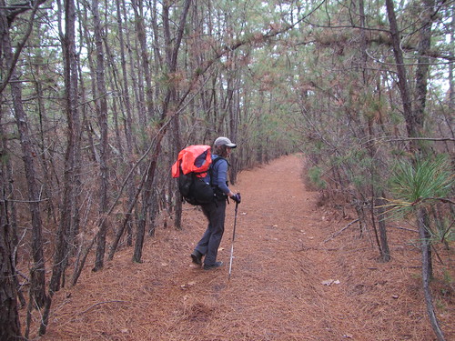
Batona Trail

There were several things that helped me this time:

  1. Better gear. Most importantly, a better sleeping pad. 
  2. Improved trail signs. We only wandered off course when we weren't paying attention.
  3. The new Southern Ocean County Park and Ride, which allows for a much earlier hiking start on day 1 when coming from NYC.
We took a bus from Port Authority to the SOCPaR Wednesday morning, then a taxi to the southern trailhead. The first day was a longish one - and on top of the Batona trail itself, there was slightly more than a mile on the spur trail to the first campsite, Buttonwood Hill Camp. The third day is also long, with days two and four being short (if you stay at Lower Forge and Brendan T. Byrne.)

It was sunnier on day two, albeit windy. (Our trip had been predicated on the weather being decent; of course it would be cold, but we had agreed to cancel if it was rainy or nasty. We lucked out here.)

Batona Trail

Lower Forge Camp is slightly closer to the main trail than the first camp. One could push on to Batona Camp, but then day three becomes long instead; it's a toss-up. I wouldn't do the entire hike in less than four days in the winter, personally, because of limited daylight. Three could be reasonable in summer.

Batona Trail

On day three, we saw Apple Pie Hill and its fire tower, as well as some nice lakes. Access to the fire tower is limited to when it is staffed, so we expected to be shut out, but to our surprise it was open. This is the view. You can see how flat the landscape is!

Batona Trail

We found the Franklin Parker "reroute" (it's been there since 2012 but still isn't on the official map!) confusing. Not confusing to follow, because of the good signage, but we just couldn't match up what we saw with what was indicated on the map. The map shows you walking by one lake, but we passed three. Very pretty, to be sure, but perplexing.

Batona Trail

The third night at Brendan T. Byrne was the coldest, and also the only night we didn't have the entire campground to ourselves.

Batona Trail

The above photo of Pakim Pond, which we passed on the last day, is a little misleading. The pond is probably very pretty at times! But the water level was low, making the shore rather unattractive. We also climbed our second fire tower, Lebanon, which is unstaffed but open.

From there we pushed a little fast, since we had an appointment with a Lyft at the northern trailhead. But we made it to mile 52.7 with about ten minutes to spare. Our Lyft took us to the Tom's River Park and Ride, and from there we caught a completely full bus back to the city.

It was a nice hike! If you want to do the same route, we used this trail guide, which was very helpful, and the guidance of the Facebook group dedicated to the trail.