Monday, February 22, 2016

Hook Mountain hike

Trail
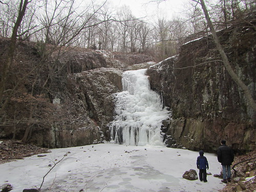
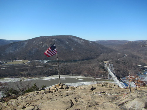
This weekend's hike visited the Palisades north of New Jersey. Having hiked above and below the Palisades farther south, I thought I knew what to expect - trails that were quite flat (except, of course, the few connector trails between the top of the Palisades and the Hudson shoreline). The trails turned out to be hillier than expected, with more variety.

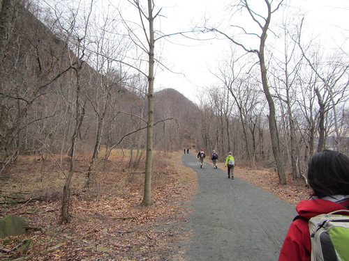
We began in Nyack and hiked north along the bike path along the shore. This trail was mostly flat, but not completely, as it eventually wandered higher than the shore but below the steep cliffs. We stopped at the end of the trail, labelled "Treason Rock" on the NYNJ Trail Conference map, although there was no evidence of said rock at that location. There was a historical marker regarding Benedict Arnold's plans for treason, but we were a bit let down not to find an actual rock.

From there, we headed uphill to the Long Path and then south. This was where the trail was much more rolling than I expected, as we went up and down several hills. We left the Long Path when we hit the highway and circled around Rockland Lake.

The hike ended a bit short by Ramblers standards, at 11.3 miles, but it was a very pleasant hike.

Monday, February 15, 2016

Return to South Mountain

Hemlock Falls
I last hiked South Mountain about three years ago, alone and in the summer. This time, I went with a friend on a snowy winter's day. Of course, I managed to get us lost, which is somewhat embarrassing when you hike with someone for the first time, but you can't get really and truly lost in the park.

The old mill is still fun to explore, although the nearby bridge was closed off. Hemlock Falls, as you can see above, was actually more spectacular when frozen. I had forgotten entirely about the Washington Rock, with its plaque honoring George, which was entirely appropriate for President's Day.

Despite the falling snow, it was warmer than on my hike of the previous day. The only downside was that the snow blanketed out the overlook of Millburn, although frankly that's not the highlight of the trip anyway.

Edited to add: I can't believe I forgot the best part of the hike! Early on, we saw a fox bouncing through the backyard of one of the houses that abuts the park.

Sunday, February 14, 2016

Hiking Anthony's Nose

Anthony's Nose
We had planned to hike Anthony's Nose today, and we weren't about to let a little thing like record cold stop us. Besides, it was a clear, bright day in spite of the chilly temps.

From Manitou, we hiked up to the Appalachian Trail and then onto the Camp Smith Trail. We spent a few seconds trying to figure out how to get to the Philips Mine, but it was too cold to wander, so we gave up. The trail goes up to Anthony's Nose, down again, up again, down again, up again, and finally down. Unfortunately, the end of the Camp Smith Trail is right on highway 9D, so there is about a mile of roadwalk with little to no shoulder. Eventually, at an intersection, a walking path appears, and the rest of the walk to Peekskill is safer. We didn't GPS the hike but it was probably 6-7 miles.

The view here is from Anthony's Nose, looking at Bear Mountain and the Bear Mountain Bridge.