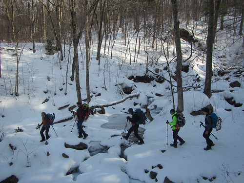
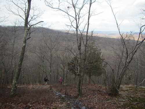
Sunday's Ramblers hike, as written, was to have hiked the entire length of the White Cross Trail. Thanks to changes on the fly, we didn't actually hike on it at all. There also ended up being several sub-groups - one for the drivers, one following the leader, and one tacking on some extra at the end. I was in the last group and may have slightly regretted it.
The weather was unseasonably warm, in the 50s, and there was no snow on the ground, so it was a great day to be out. Our hike was, I think, 14 miles, although no one in the group I ended up with tracked our route.
Tuesday, February 25, 2020
Monday, February 17, 2020
A winter hike of Big Indian and Fir
I returned to Fir and Big Indian yesterday with the Catskills 3500 Club for my winter climb of these peaks. We followed the same route as last time, except in reverse, doing Big Indian before Fir.
From Biscuit Brook, it was apparently that spikes would be necessary. We also carried our snowshoes, which proved to be wise, because once we turned off the trail to the bushwack to Fir, we needed them instead.
As usual for "viewless" peaks in the winter, there were in fact views through the trees. The photo below is from the ridge between the two mountains.
Although there was a lot of mostly unbroken snow, hence the snowshoes, the day was mostly clear and moderate, with little wind and no precipitation, so it was perfect for a winter hike.
Sunday, February 9, 2020
A snowy hike of Bearpen and Vly
I have hiked Bearpen twice and Vly once, but like all Catskills peaks, they feel quite different in the winter. Neither are particularly heavy on scrambling or rocky cliffs, however, so they are fairly straightforward.
We took the standard route, from south of both peaks up the private road to the hunting cabin. From there, one can go right to Vly and left to Bearpen. Since another group was going up Vly, we went the other way. It's a snowmobile trail, although didn't encounter any, despite recent (and ongoing) snowfall. The photo above is the view from the top.
We returned to the junction and went up Vly. Technically trailless, it has a use trail with blue blazes. I've been told they are actually property boundary markers that over time people have used as guideposts, but I don't know whether that is true.
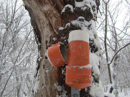
Vly has no view at the top, so here is a photo of its canister.
We got done fairly early in the day - the total hike is about 6.5 miles - so I got back to the city before it was even dinnertime.
Tuesday, February 4, 2020
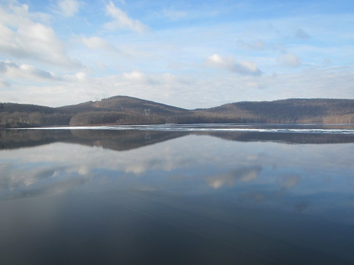
Hiking along the Wanaque Reservoir
Sunday's hike essentially followed the western edge of the Wanaque Reservoir from north to south, although that implies a route that was more directly on the shore than the trails are. The 12-mile hike was full of ups and downs over mini-mountains.
After starting at the dam, right alongside the water, we quickly started going uphill.
And then down. Then up. Then down.
While there wasn't any snow accumulation worth mentioning, the weather varied from sunny to cloudy to snow to drizzle, so it was quite an adventurous hike.
Subscribe to:
Posts (Atom)