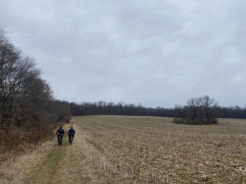
For a long hike in February, I wanted to explore the new-ish Danger Noodle Trail. It starts in the northwest corner of Black Hill Regional Park, and it is designed primarily for cyclists.
I started at the Cool Spring trailhead and headed downhill. After connecting briefly to the Ten Mile Creek trail, I chose to follow the northern side of the Danger Noodle loop west. This is a pleasant little section on top of a ridge, with modest views of the valley below. In summer, these would be obscured by leaves.

From there, I took the Jewelweed connector to the Whistle Pig loop, which circumnavigates a cornfield. Yes, I chose the shortest side, since it's not an interesting trail. Then I took the Bucklodge trail around the conservation area. When visiting a year ago, I said it was not a very interesting loop, and I stand by it. There is nothing bad about it - if you want to want around in a mostly flat circle* in the woods, it is there for you. But it's also, well, a flat circle in the woods.
I returned via the same side of Whistle Pig, then Jewelweed, then the south side of Danger Noodle. A good portion of this is close to some houses, and there is a lot of litter and trash in that section. It could benefit from a cleanup. As it travels east, it goes back into the woods and is cleaner.

I finished up via the Ten Mile Creek and Cool Spring trails, for a total of ten miles.
It was a nice hike for a local training hike - it's not one I would recommend traveling great distances to do. I was primarily intrigued by the idea of connecting these trails together. Bucklodge is as far as you can go with that; it has a couple of small connectors to streets around it, but that's it.
*That's topographically, not geometrically.


