Wednesday, September 7, 2022

Around another lake

I feel like I've been walking around a lot of lakes lately, not all documented here - Lake Frank, Black Hill Regional Park and Lake Churchill, and other Montgomery County dammed lakes. And once again we found ourselves circumnavigating a lake, this time on a weekend trip to Rocky Gap State Park.

Lakeside Loop

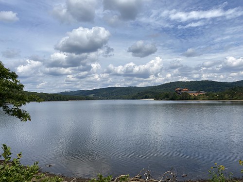
We had hoped to get more hiking in, but rain dashed those plans, so our only real hike of the trip was around Lake Habeeb. Like most such hikes, the elevation gain was negligible. At 5.3 miles, it could be done in a couple of hours, but we took our time. (This included a stop at the visitor's center for snacks.)

Lakeside Loop

Different portions of the lake had different feels, as the northwest side was mostly wooded, and the southeast side had the resort, visitor's center, and most of the day use areas. Overall it was a pleasant hike.
Lakeside Loop

Monday, August 15, 2022

Climbing Sugarloaf Mountain

Sugar doesn't come in loafs any more, but we're stuck with dozens of mountains named for that shape - including one in Frederick County, Maryland. This Sugarloaf is a monadnock, meaning it stands alone and is not part of a range. It's a popular hike because it's the only game in town, mountain-wise.

Sugarloaf Mountain

While Sugarloaf rises 800 feet above the surrounding land, many of the parking lots are halfway up the mountain, saving you some elevation gain. However, we chose to loop around on the blue trail, which traverses some ups and downs to visit other sub-peaks. It's about 5 and a half miles, with 1,375 feet of elevation gain total. That makes it a decent workout, and good training for other peaks.

Sugarloaf Mountain

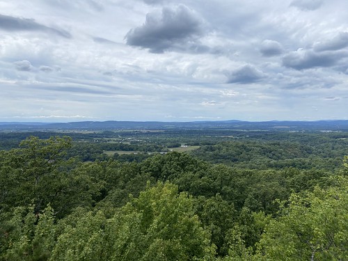
The first photo above is from the main peak; the second one is from White Rocks. The latter has a nicer view, and a bit more privacy (although the entire mountain is popular).

Thursday, August 4, 2022

The Matthew Henson Trail

Matthew Henson Trail

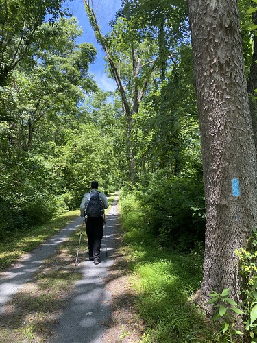
On a hot summer day, T and I set out to hike one of the trails in the AMC's DC dayhikes book. The Matthew Henson Trail is a 4.2-mile greenway connected to the Rock Creek complex of trails. Most of it is very nicely shaded, and of course it is almost entirely flat. It occupies a fairly narrow corridor in between houses, with a few major road crossings. Given all that, it was pretty nice for what it is. 

We did it round-trip, with a short detour on the way back for pupusas and Rita's ices.

Matthew Henson Trail

Sunday, July 3, 2022

The easiest part of the Tuscarora

C&O/Tuscarora Trail

We decided to change things up and do the easiest part of the Tuscarora Trail, the part that is coterminous with the C&O Canal.

C&O/Tuscarora Trail

The hardest part ended up being that, while we had planned it as a one-way hike, we couldn't get an Uber back to the start - guess that's the problem with a small town on father's day. We did end getting a ride from a nice stranger at the gas station, so it ended well.

C&O/Tuscarora Trail

Tuesday, June 14, 2022

Cooling off on the Tunnel Trail

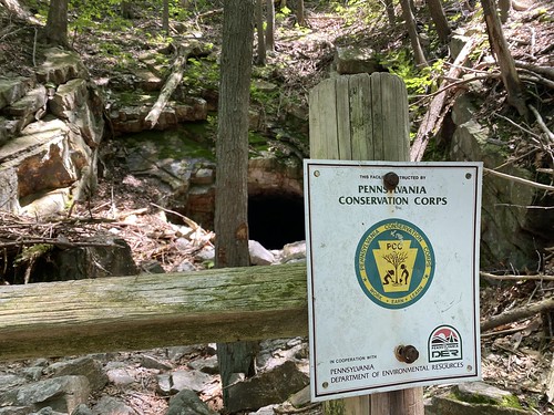
Our last day was another short one, what with packing up the camp site and driving home, so we picked a short but fun-looking trail - the Tunnel Trail. This easy trail through laurel-covered hills leads to a railroad tunnel that was started but never completed.

Tunnel Trail

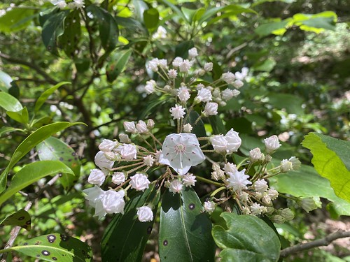
The laurel was only just starting to bloom, but it would have been spectacular in a week or two.

Tunnel Trail

The tunnel itself was cool and refreshing.