Tuesday, October 31, 2017
The Torrey Memorial Hike
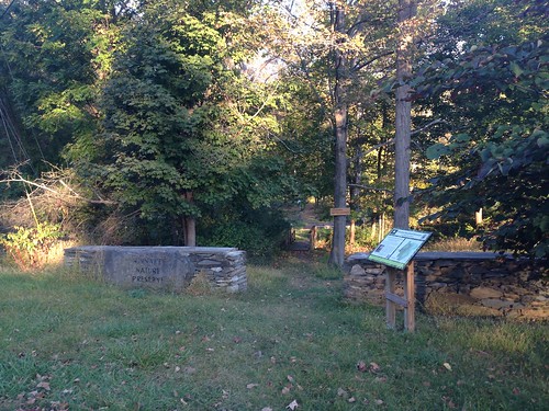
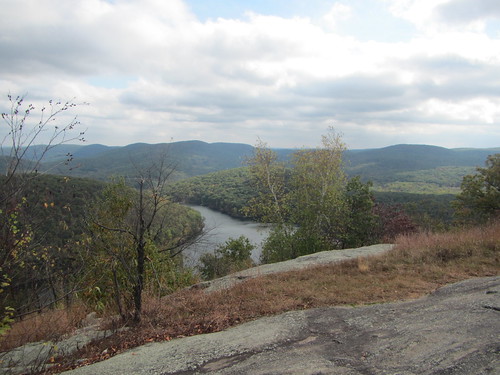
The New York Ramblers, like several other local clubs, have an annual tradition of hiking to the Torrey Memorial in Harriman State Park. This year, I was leading the hike for the second year in a row, using a different route. We had scouted it two weeks ago, which is when I took the above photo at the memorial.*
The weather for the official hike was not so promising. The forecast for the day had been holding steady with torrential downpours, vacillating on whether there would also be lightning and wind. I contemplated cancelling but was reluctant. For one thing, the previous week's hike had been cancelled. For another, last year's hike had stopped short of the memorial and turned around due to thunderstorms. I didn't want the hike to fail again.
Still, I must admit that as I waited at Port Authority, part of me hoped no one would show up.
But, no - one hiker did. So we set off for Harriman on the bus that stops at Bear Mountain Inn before our stop, Fort Montgomery. Somehow, our driver managed to get lost on the way to Bear Mountain. Nevertheless we arrived, and faced only light rain to begin.
The plan, as it had been scouted, was to hike around Brooks Lake, through Popolopen Gorge, then take the most direct route to Torrey Memorial. From there we would keep heading west, joining the Long Path to a bus stop in Central Valley. Although only one trail passes over the memorial, there are several ways to get there (and several more that only make sense if you have a car).
Over the course of the morning, the rain only let up very briefly. We had trouble finding a spot for lunch; my original plan of eating on the open mountaintop was of course out of the question. But there really is no shelter anywhere along the route. So we scarfed a quick lunch down under a dryish tree before finishing the climb.
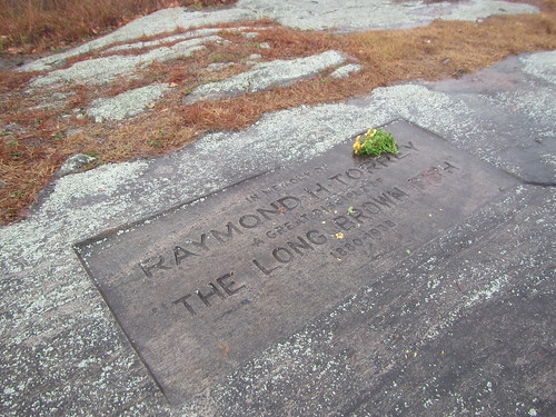
The above photo is of the memorial in the rain. We only lingered long enough to discuss what we should do. The second half of the hike was going to be much hillier, and wet leaves on wet rocks seemed like a recipe for danger. If we headed back, it would be easier and faster. I proposed turning around but instead following another trail through (although not up) Bear Mountain to the Inn. While I had never done it, it seemed straightforward enough. My fellow hiker agreed, so we set out.
Immediately the rain redoubled. I gave up on keeping my feet dry. I gave up on keeping my camera lens dry - there was nothing to dry it off with. Eventually, I gave up on calling it a "hike" altogether, repeating to myself like Dory, "Just keep swimming, just keep swimming."
We made it back to the Inn in time to change into dry shirts - I even had a hot chocolate - before catching the return bus. (Naturally, we had the same driver on the way back, and he asked us how much our fare was.) Both of us were glad that we'd be back to the city almost two hours earlier than planned, thanks to the route change.
If I lead this hike next year, I fully expect, like, a sharknado.
* I neglected to blog about it, it would seem.
Thursday, October 26, 2017
Hiking to Heceta Head
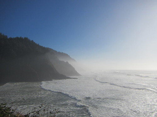
I've just returned from a trip to Oregon, during which it mostly rained. However, on the one nice day I was there, my sister and I went to the coast. We traipsed along the ocean and we also visited Heceta Head Lighthouse. I thought I had been there previously but was confused. (To give myself some credit, the buildings look similar, and on my previous visit, the fog totally obscured the view.)
From the parking lot, we strolled half a mile uphill to the lighthouse. The view above is from partway up the trail. The lighthouse itself looked reasonably cool, although we didn't tour it. For one thing, we had her dog with us, and for another, the tower was closed for lens repair. But the view itself was a sufficient reward.
Sunday, October 15, 2017
Hiking Coney Mountain (Tupper Lake 1 of 3)
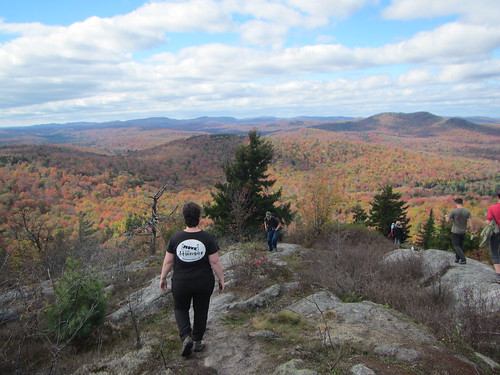
With beautiful weather last Sunday, we decided to head up to the top of Coney Mountain. Yes, it's a mountain. Yes, it's uphill most of the way. But it's also only one mile, and that mile isn't particularly steep. And the views from the top are 360 degrees of panoramic goodness.
As you can see, we didn't exactly have it to ourselves. That wasn't unexpected, given the nature of the hike. Still, it was totally worth it.
Click here to see a video of the top!
Friday, October 13, 2017
Hiking Haystack (Saranac 6 no. 5)
After our quite Hyde Park hike, and after a night in a horse-racing themed hotel halfway to the Saranac Lake area, we drove up to the Adirondacks to climb the next peak in our Saranac Six quest.
Haystack (not to be confused with the other Haystack, an Adirondack high peak) starts from the same parking area as the main route up MacKenzie, the hardest of the six. We set out not sure what to expect; it was a greyish day, and we weren't sure we'd have any view awaiting us at the top.
The climb is relatively easy from a technical point of view - not a lot of scrambling. The hardest part is crossing the stream below a dam relatively early in the hike. We enjoyed our new poles, however, as they provide a slight assist.
Near the top, there is a small ledge with a view. There we met a couple from New Jersey who were hiking with their Yorkie, who they are aiming to make the smallest Saranac 6er. He (and they) have one peak left.
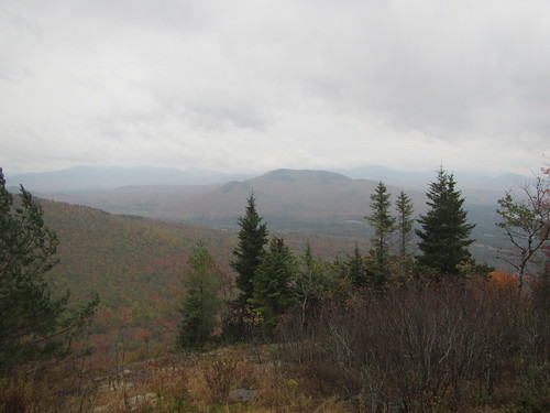
From there, it is a short distance to another viewpoint, not technically the top but very close. We were pleasantly surprised that despite the grey day, the view was not totally socked in. We enjoyed the view before heading down to a local brewery for dinner.
Thursday, October 12, 2017
The Hyde Park Walkabout
J and I went to the Adirondacks this past weekend and did some fun hiking in the mountains, but we also sandwiched our trip with two easy hikes in the Poughkeepsie area. She had discovered the Hyde Park Walkabout, which rewards you for doing five local hikes with an annual patch.
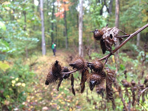
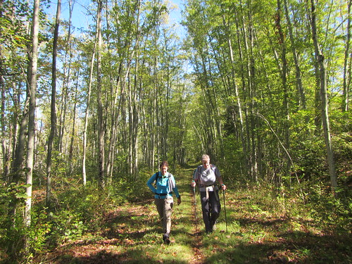
Both of the hikes we did were about a mile long and mostly flat. On Friday, we went to the Winnakee Nature Preserve (above) for a quick evening hike. On Monday, we ended a rainy day with a hike at Val-Kill, Eleanor's Walk (below). Both of these are loop hikes through the woods - pretty and pleasant.
Tuesday, October 3, 2017
Hiking in Basha Kill
On Sunday, the Ramblers took a long bus ride up to Wurtsboro to hike in an area that's generally hard to reach by public transit. After a road walk, we got on the Long Path/Shawangunk Ridge Trail, part of which is an old canal towpath, and which in this area is mostly flat.
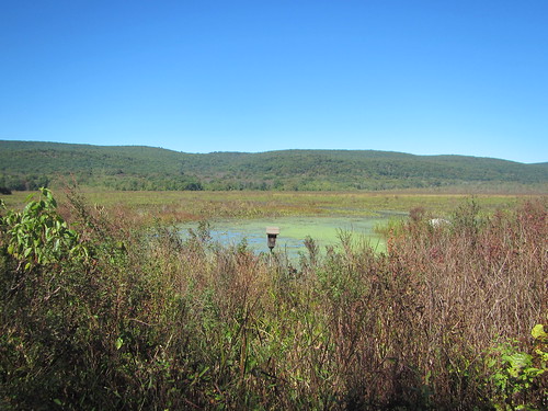
We soon reached an area J and I had previously done a birdwatching stroll in, then continued on past wetlands.
Eventually, the trail heads uphill through Gobblers Knob State Forest. After leaving the forest, we proceeded a bit further before taking an old road to the Otisville railroad station.
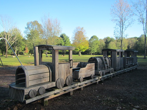
Okay, okay, that's not the actual train station - it's a park in Otisville maybe half a mile before the station.
Subscribe to:
Posts (Atom)