Since I didn't go all the way to Minnewaska just to hike a mile, I drove over to the Peter's Kill parking area to check out some scenic views. (It's also possible to continue on the Awosting Carriage Road from the falls to this point, but I decided to just do the highlights.)
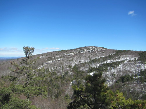
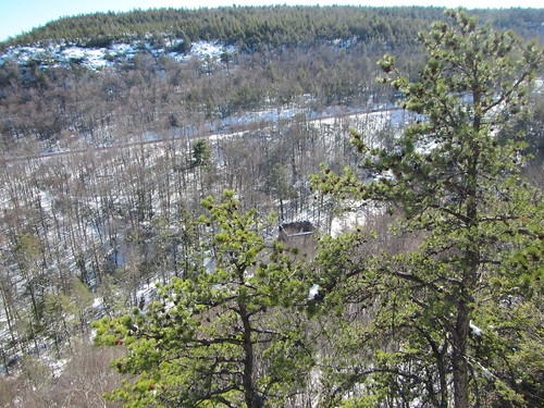
I followed the short side of the Red Loop downhill to Peter's Kill, then turned to follow the stream on the yellow-blazed connector trail. It deadends at the High Peter's Kill trail, part of the Shawangunk Ridge Trail. I turned west and climbed up the other side of the creek to the top of the ridge. From there, it was mostly flat as it followed the ridge, and I went as far as the fourth starred "scenic view." The top photo is of the first of the four views. The photo below is of an old power station at another viewpoint.
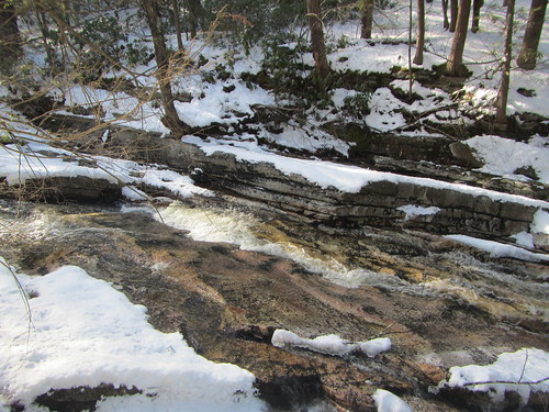
Then, I turned around and returned the way I came, this time taking the long side of the Red Loop trail. In addition to the great views, this hike also boasted a great creek. It was hard to adequately photograph, but below is a photo of it running swiftly downhill.
Unlike Awosting Falls, very few people were out on this hike. Round-trip, it was 3.8 miles - still nothing hardcore.
No comments:
Post a Comment