A hiking buddy suggested getting a crew together to do the Shawangunk Ridge Trail, so I sat down and mapped it out into six one-way, car shuttle sections. We did our first section this weekend.
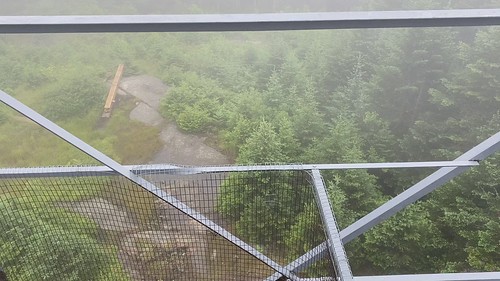
We began at the southern end, in New Jersey's High Point State Park. The trail actually begins somewhere on another park trail, and two different maps show slightly different starting points. We started even slightly farther south so we could see the view from the observation platform. We never did see a triple blaze that indicated an official beginning point.
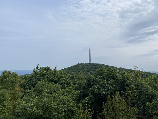
The trail in High Point is quite nice. Between the platform, the monument, and a few very short side trails, there are a lot of nice views. (Sadly, the monument was closed beyond the first level due to repairs.)
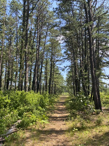
From there, the trail began to roll gently up and down - although much more down than up. In many places, the foliage needed some trimming back, but there was nothing that significantly blocked the trail.

Along the way, there were two road walks. The first was along Greenville Turnpike, a rather sleepy country road. The second included Old Mountain Road, highway 6, and Hathorn Boulevard. The highway was busy with high-speed traffic, necessitating caution.
The trail eventually popped us out alongside the Metro North Port Jervis line. At Shinhollow Road, a bridge crosses the railroad, and there was a double blaze on the bridge indicating a right turn. However, the embankment was entirely overgrown. Once we scrambled up it, we could see we were on a path with blue blazes ... that also extended behind us. So which was actually the trail?
But we crossed over the bridge to where our cars awaited us.
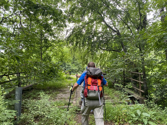
This first section was close to 11 miles. We ganed 1,370 feet of elevation, but lost 2,250. If you're trying to replicate this, note that there is an entrance fee at High Point. We sensibly took the New Jersey car to the start point, to pay the lower in-state entrance fee.