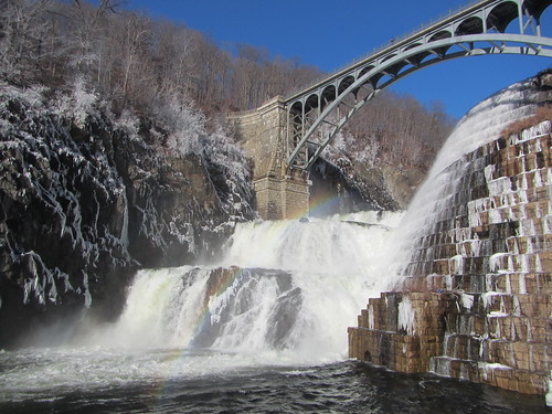
In preparation for an upcoming Ramblers hike, I scouted the area around the northern end of the Old Croton Aqueduct. I walked from the train station to the New Croton Dam, then south on the OCA to Ossining - a little over 8 miles. It's mostly but not entirely flat.
(Technically, if one is heading south, one is walking downhill. The aqueduct runs downhill at the rate of 13 inches a mile. You're not going to notice.)
Much of the OCA is easy to follow, but I wanted to test routes to the dam. The roadwalk I took started off okay, but it meant taking Grand Street at the end, and it's a 45 mph road with no shoulder. It sounded appealing because it takes you past the dam, but it won't work well for a group. You could also go up Batten Road, which takes you over the dam, or cut over to the east side of the river at Quaker Bridge, although the latter would involve some retracing of steps. Given the length of the hike, I'd rather not add any extra length, and Batten Road adds .7. So there is no best route.
Just below the dam is Croton Gorge Park, which has trails beyond the OCA, but alas I can find no map available of it. I'd be curious to see the river trail, which branches off from the OCA early on.
No comments:
Post a Comment