Mind you, it doesn't start off gently! The day begins with a climb out of the clove up towards Hunter. This was my very first Catskills hike in 2014, when I was just recovering from shoulder surgery and beginning hiking again, and it still wasn't easy now. In fact, I failed to get any decent photos on the climb that show its difficulty, so here is a photo of a late trillium instead.

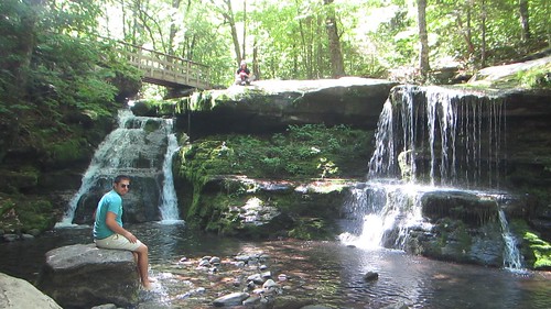
After enjoying the view at Geiger Point, one of only three the day offers, we then lost all that elevation we had gained by heading down to Diamond Notch Falls (which the signs call Buttermilk Falls). Of course we dallied here for a bit.

Up, up, up, but with not nearly as much scrambling, past the rock overhang, to the top of Westkill.

From the Buck Ridge lookout near the top, you can see Hunter and Southwest Hunter (pictured) as well as Thomas Cole, Blackhead, and Black Dome.

From there, it's ... mostly ... downhill. The exception is an elevation gain of about 300 feet to the top of St. Anne's Peak, one of the 100 highest. From there is really is all downhill.
The trail makes an abrupt turn to the north, into the second valley named Mink Hollow of the trail (seriously, people?) and changes a great deal in character again. For the final mile and a half, it's much gentler and the trees are mostly pine and cedar.

And then, we reached the end!

No comments:
Post a Comment