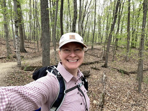
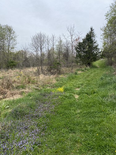
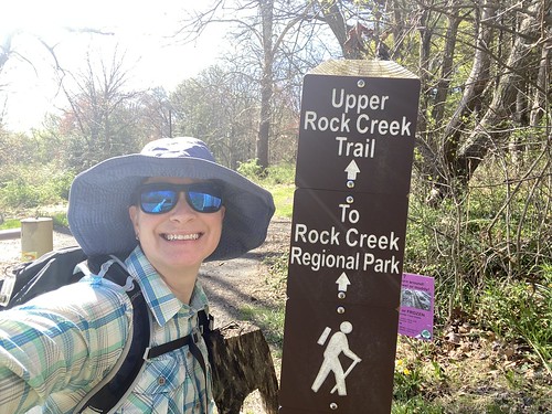
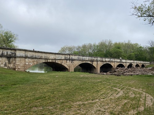
Yesterday I visited a part of the C&O I had not been to previously, Monocacy Aqueduct. Where the C&O Canal crosses the Monocacy River, an elegant aqueduct was built over the river. The aqueduct is dry today, just like the canal on both sides of it, but it was otherwise restored about 20 years ago to its original appearance.
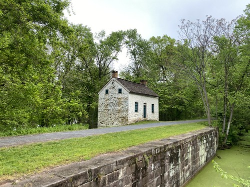
From the aqueduct, I first hiked east to the nearest lockhouse (about half a mile), then back. From there I headed west to Nolands Ferry. In between, the only real landmark is a camping spot close to the aqueduct. The Potomac is visible through the trees on one side. On the other, the canal is dry, with fields or forests beyond. A train track runs parallel and somewhat close by - never close enough to be visible, just close enough to be audible.
Round-trip, this was seven miles, almost entirely flat. There is parking at both the aqueduct and Nolands ferry, plus restrooms (with an additional port-a-potty at the campsite).
The best part of the hike was views from the aqueduct. You can see the Monocacy flowng into the Potomac to the south. To the north is a railroad bridge. It's not far from Monocacy Natural Resources Area - although you can reach it by boat or car, but not on foot.
