I've been idly planning to do a series of hikes following Rock Creek from its source to the Potomac. I finally did the first of these earlier this month.
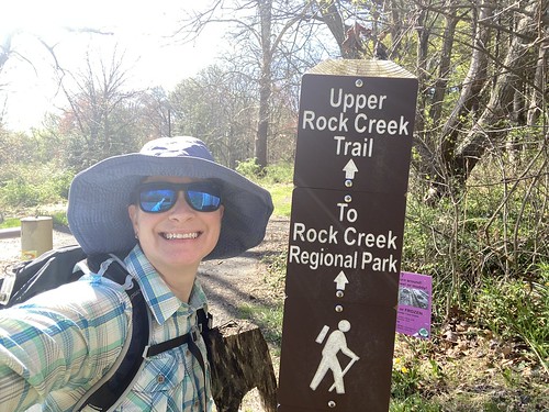
The creek starts just north of Laytonsville Golf Course, then flows through some residential neighborhoods. It then runs through the Agricultural History Park. I have no intention of playing the course, ever, but I probably should go back at some point and follow the creek through the neighborhood and into the park, just for completeness. But on this hike, I started in the Ag History Park and followed the stream south to the southern end of Needwood Lake.
A lot of this hike is parallel to - but not close to - Rock Creek. It is often out of sight. It is also a trail that is primarily used by cyclists. As always, people share the trail nicely as long as you stay alert. There are two road crossings as well that demand attentiveness.

Once the trail hits Lake Needwood, it changes dramatically. Here the creek is dammed to form the lake, and the trail follows its edge. It is also pedestrian-only and very heavily trafficked. I chose to follow the eastern side of the lake, then round back up the west side before retracing my steps back to the start of my hike.

At the southern tip of the lake, the trail turns into a paved greenway for 14 miles to the DC border. Most likely, I will wait until cool weather to do this (or at least an overcast day). Then, of course, it heads into Rock Creek Park. South of the zoo, it follows a narrow green corridor to the Potomac. The trail itself continues past the creek to end at the Lincoln Memorial.

My hike was 11 miles, but since it was an out-and back, I only covered about five miles of creek.
No comments:
Post a Comment