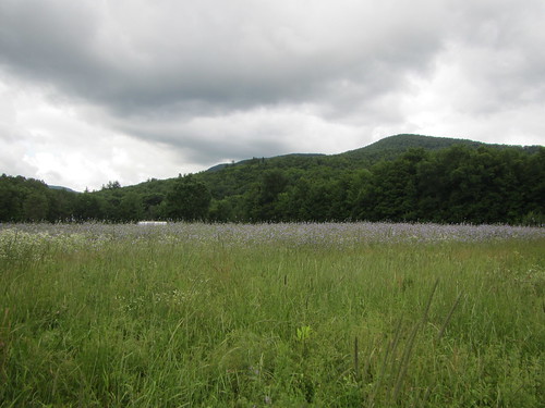
On day 17, I was looking forward to the one and only time the trail becomes flat - crossing the Winooski River. After heading down from Camel's Hump, there it was - the road. The trail leaves the road and crosses through agricultural fields. It's perfectly flat except for stiles over electrified fences. As I made my way past a creek, I ran into Pink Heels and Easy Cheese, who were going the wrong direction; they found a fence they couldn't get around. But all good things must come to an end, and the flatness turned into a straight-up grind to the top of Bolton Mountain. Bolton wasn't particularly interesting, but we stayed in a great shelter that night - Puffer isn't a fancy structure, but it has a terrific view.
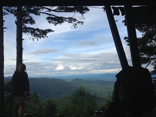
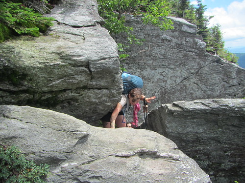
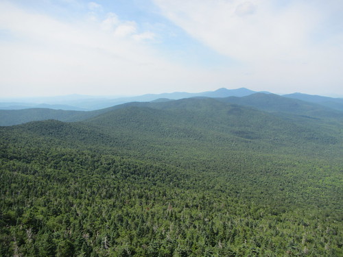
Day 18 had its own milestone - Mt. Mansfield, the high point of Vermont. Like Burnt Knob and Camel's Hump, it has a great deal of rocky scrambling. Now, Mt. Mansfield is said to look like a face (which I can't see at all), and the LT goes from the "forehead" to the "chin." The forehead had the most tricky scrambling of the entire trip, and I was glad to be hiking with other people. Of course, the views at the top were terrific, but the sheer number of people was a bit overwhelming - there are several other trails to the top, most of which are shorter by virtue of gondola or car. After a short but steep descent partway down the mountain, we spent the night in Taft Lodge, a very well-appointed shelter, along with the caretaker, two overnighters, and Silent Force.
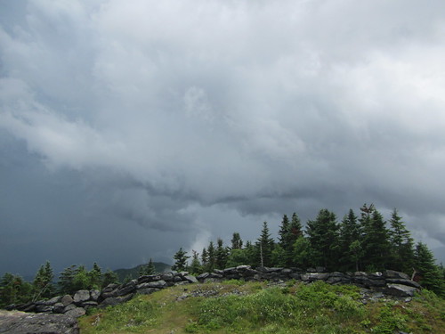
On day 19, the trail descended to Smuggler's Notch before going uphill again. At the Elephant's Head Cliff vista, I caught an impressive view of a cliffy side of Mt. Mansfield. Then it was on to Sterling Pond, which had a lot of dayhikers, thanks to the nearby ski area. However, it was to be a short day - a storm was rolling in. Pink Heels, Easy Cheese, and I hoped to make it to the warming hut on top of Madonna Peak - I was glad for their intel, as it isn't mentioned in the guidebook. We came out of the trees onto a ski trail in sight of the hut just as the first drops broke. The hut wasn't the fanciest, but it was dry, and we had some fabulous clouds to watch. Later in the evening, the Skittles and their adults joined us for the night.
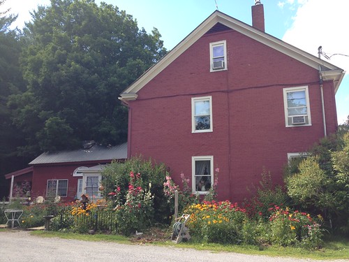
Day 20 was town day again, the last one. The trail itself was up and down until it joined a country dirt road. We stayed the night at Nye's Green Valley Inn; the owner was a truly gracious host and shuttled us around to both Johnson and Jeffersonville. Also, they had goats and miniature ponies, and if you don't love that, your heart is cold.
After leaving the Lamoille Valley on day 21, we went up and down a few times, enjoying a few vistas along the way, and ending up at Corliss Camp. It was another nice shelter, and we had a good campfire with marshmallows.
The next day was a series of ascents and descents. It included the Devil's Gulch, which reminded me of hiking in Tennessee's Cumberland Plateau. Then there was a rough climb up Mt. Belvidere - I had an allergy attack, it was pretty hot, and the deer flies had come out in massive numbers. I felt like Pigpen with a cloud around my head. But there was another great fire tower view at its summit.
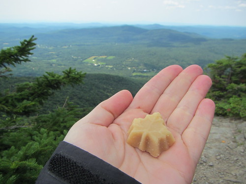
On day 23, the hiking itself was nothing spectacular. I did enjoy Domey's Dome, mostly for its name. Somehow, I didn't have enough water, and spent a good part of my afternoon thirsty. Finally, there was a stream before the road, so I didn't have to hitchhike to town for a drink. I spent the night at Jay Camp, where a major thunderstorm boomed right over us in the night.
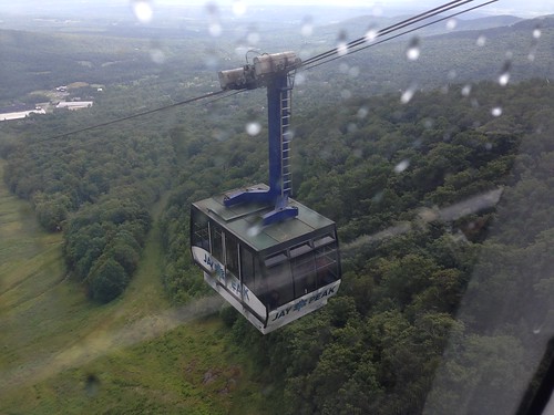
Day 24 was supposed to be a longer day. Pink Heels, Easy Cheese, and I went up Jay Peak. Thanks to the fog, we didn't get much in the way of views. We took the gondola down to the ski area - unlike many of the trams, it runs on a schedule instead of continuously - at 10:30 and had lunch. They planned to spend the night, so I said goodbye and hopped back up on the 12:30 gondola as thunder began to rumble. It turned out to be a good choice, as they shut down the gondola after that because of the weather. I made it to Laura Woodward shelter with only a few minutes to spare before the skies opened up again, and I was trapped for the day. My final day would have to be longer than planned.
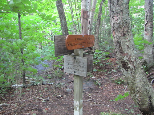
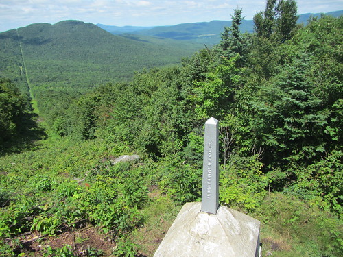
I got an early start on day 25. The trail was wet but not particularly treacherous. The end was so close! And then it was there - the line post marking the border with Canada. After an obligatory photo and a quick step into Canada, I turned east onto the Journey's End trail to return to civilization. 273 miles plus a few spurs and road walks - done.
No comments:
Post a Comment