But let's start at the beginning ...
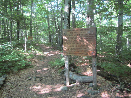
I took the bus up from NYC to Williamstown, MA, and then the local BRTA #3 bus to near the trailhead. From there, I got on the Appalachian Trail going north. The LT may be 273 miles, but you can't just get on it - extra miles are required to access it at both ends. So my first 3.8 miles didn't "count," so to speak. I only went a few more miles, since most of my day had been taken up with bus travel, and when I rolled into the Seth Warner shelter, I was surprised to see Janel, Soft G, and Tuna Roll, who I had met on a weekend backpacking trip a few weeks previously. The shelter was rather full, thanks to it being a holiday weekend.
Day 2 saw a steep climb down to Route 9, and a steep climb back up, but there was trail magic at the road - Mike and Steve had drinks and snacks for thru-hikers. I slept in a shelter for the first time that night, thanks to the predicted rain. I also met DR, Jazz Hands, and the Skittles - four young girls hiking the entire LT. I'd see them off and on again the entire trail.
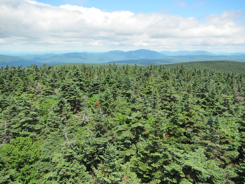
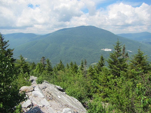
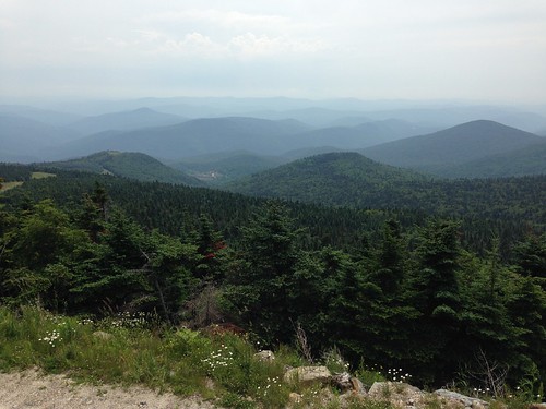
On day 3 we started getting some spectacular scenery as we reached Glastenbury Mountain with its fire tower. It was a clear day and the views were terrific.
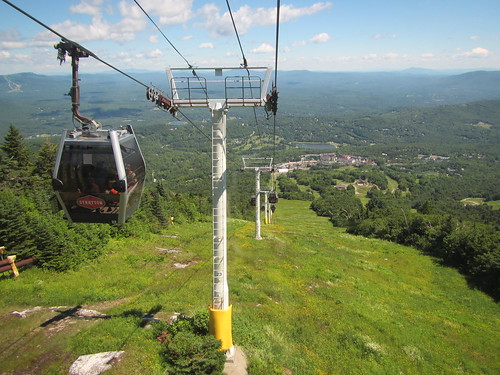
Day 4 led us up to another mountain with another fire tower - Stratton Mt. Luckily, I arrived early enough in the morning to beat the gondola crowds. After chatting with the caretakers, I took the spur trail to the gondola (free for thru-hikers), and rode down into Stratton Village for a sandwich.
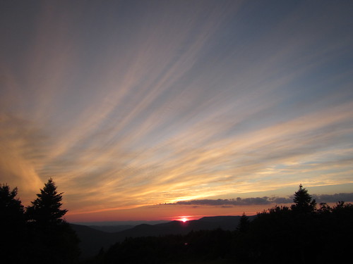
Day 5 produced yet another mountain view for us. I stayed at the Bromley ski patrol hut after a lower mileage day. We had a beautiful sunset on top of Bromley. Some people complain about all the ski mountains, and I respect their concerns about development vs. wilderness, but the ski areas do result in some better views, not to mention some nice huts.
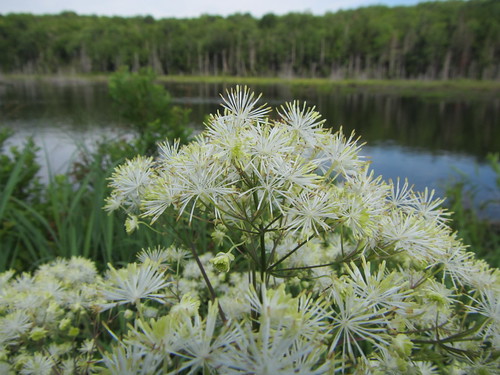
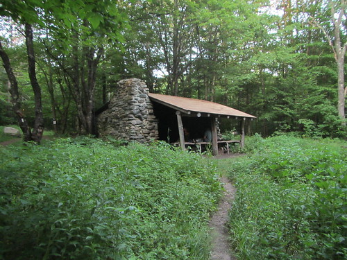
On Day 6 I saw the first bit of trail that could use more maintenance; the northern slope of Bromley was quite brushy. In general, the AT part of the trail was quite well maintained. The highlight of the day was probably Baker Peak, where we hiked up a knife-edge of upturned granite, with a southern view at the top. Little Rock Pond was a very nice shelter, too.
On Day 7 I went into Wallingford to pick up my food resupply, have a real meal, and plug in my phone. With my pack newly heavy and the weather getting hotter, I climbed up another mountain, then started up to Clarendon via a steep, rocky ravine. This was my longest day on the trail, 19.4 miles.
Day 8 took me up yet another ski slope, to Killington Lodge. The trail doesn't go all the way to the peak, but I elected to take the spur up and eat at the lodge. Then down again, of course. As I approached the highway, I got caught in my first rain of the trip. I really couldn't complain - it had been a week of no rain except at night, which is quite unusual for the LT. But still, it was nice that this was to be my first town night. I stayed at the Inn at Killington, which I highly recommend. I had a really terrific salad there (no, really!), took a shower, and did laundry.
And here I pause, for we are almost to the 100-mile mark, where the LT and the AT diverge ...
No comments:
Post a Comment