Tuesday, August 30, 2016

An analysis of faculty jobs in higher education administration

An offhand remark on my part that 80 percent of faculty jobs in higher ed were in student affairs led me to wonder whether that was actually true, so I did a little data gathering and crunching. 

For my data, I used ASHE Listserv. Not all openings are posted here, but the majority are, and I felt that any missing jobs would be likely missing at random (or that they were aimed at an inside candidate, but that there was no reason this would occur in any subspecialty more than another).* I only included faculty jobs at colleges and universities, excluding graduate assistants, post-docs, adjuncts, deans or above, and jobs at think tanks, states, or other policy bodies; I excluded jobs outside of the United States and Canada. I excluded jobs that were specifically K-12 but included jobs that were open to either K-12 or higher education scholars. 

I then categorized the searches by specialty, which was easier in some cases than others. “Any,” in some cases, means “a very wide range of specialties, although not literally any,” and in others it means quite literally any. (Examples of the former: “Our preference is for applicants who have experience in higher education administration especially in the areas of academic advising, assessment, leadership, organizational development, or student development,” and “Expertise appropriate for doctoral level teaching in one or more of the following areas:  (1) Quantitative methods applied to institutional research, evaluation, and/or assessment; (2) Leadership in universities and community colleges; (3) Higher education policy; (4) Student learning and academic persistence in higher education.”) In some cases, ads may be incorrectly specified as “any,” if the college chose to only list a speciality in a full ad on their own website. Thus, the number of “any” searches is likely slightly overstated. Additionally, some of the “Methodology” searches in particular were not limited to higher education but also included P-12.

I noted the rank of each position and whether it was tenure-track. In some cases, this was not specified; I assumed ranked professor positions were tenure-track unless the ad stated otherwise. Additionally, ads were grouped by start date, using the semester rather than the month. At this point, it looks like we’ve seen the last posting for “fall 2016,” so I excluded any posts for 2017 start dates.**

Here’s what I found:

Posting date

Unsurprisingly, most ads run in the first few months of the fall semester. There is a lull at the winter holidays, with ads picking back up in February and March. A few run into the summer. 


Rank

One in five postings was non-tenure-track. It’s hard to tell from only three years of data whether the jump from 9 non-TT for 2014 to 22 non-TT for 2015 is statistically significant.

38% of jobs were at the assistant rank with 23% at assistant/associate, and 11% open. Scholars at the beginning of their careers, in other words, can apply for about 3 out of 4 positions, without even considering lecturer/visiting positions. Only about 1 in 4 ads were relevant to scholars at the full professor rank. 


Specialty

This is the question we’re here for, and I’m rejecting my hypothesis that 80% of openings are for student affairs, even without running any statistical tests. (Sorry, guys.) Only 19% of jobs were focused on student affairs. While this was the largest speciality, and while many of the “any” specialty ads are likely available to student affairs specialists, it is still nowhere close to 80%. The second largest specialities were methodology (these postings were particularly likely not to be limited to higher education scholars) and leadership.

A degree of subjectivity on my part was required to categorize some of these postings, but it’s safe to say the frequently requested specializations are student affairs, methodology, leadership, policy, and community colleges. Of course, if you're a scholar focusing on urban education, you don't necessarily need to despair - 41% of jobs were open to nearly any specialty. That said, that theoretical openness may not translate to an actual willingness to hire a historian, etc.

Discussion

Everyone feels that their topic is given short shrift (go ahead, find me a scholar who feels their area gets enough sessions at ASHE), and as someone who isn't in student affairs, I have fallen prey to this same error. 

It's clear that student affairs is the most commonly requested specialty, but it's impossible to tell from this data how this compares to the number of scholars in each area, or to tell how open search committees are to various avenues of research - no doubt there are unstate preferences in the minds of committee members.

Notes

*This assumption may be untrue if jobs in student affairs are likely to be posted with NASPA or ACPA instead of ASHE. Also, it’s not clear to me why ads for a K-12 scholar would run here at all, but there were a few.


**Further methodological notes: Ads that ran twice were only counted once, using their first run date. There is no guarantee that all these positions were filled, or that they were filled with faculty in the desired speciality. If the ads did not specify a start date, fall of the next year was assumed. Data was pulled only from the ads; some ads may have directed readers to an announcement on the institution’s site with more details, such as specialization. I began with the first ad that contained a fall 2014 posting and stopped with the last one that had a fall 2016 posting. A few weeks are missing: Some of those were holidays, with no listserv messages, but it’s possible I am missing as many as five weeks of data (11/14/13, 7/10/14, 7/17/14, 7/2/15, and 11/5/15).

Thursday, August 25, 2016

Greenwich to Port Chester

Waterfall
My first Ramblers hike post-LT was less strenuous than usual - probably about nine miles, with no significant elevation changes.

We began by hiking near at the Audubon Center. Then, after a short road walk, we hiked along more trails that I believe are part of the same property but not contiguous. The final hike back to the trail station was on roads; I opted for the slightly shorter version, not being a lover of road walking.

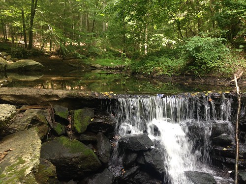
The trails were pleasant if unspectacular; the highlight was definitely the waterfall, an old dam, where we had lunch.

Tuesday, August 23, 2016

The LT and the body

Wings
Hiking 273+ miles in 24 days is bound to affect your body, and even more so when you're carrying most of your own food. If you've read much about thru-hiking, you know that it's a struggle for most hikers to eat enough calories. Then there is the adjustment of the tendons and muscles to carrying your body and a pack around. Plus, there might be blisters, chafing, and less attention to personal hygiene ...

Well, I was lucky when it came to blisters - I only had one, and was easily dealt with. A little Desitin cleared up a bit of monkey butt. Otherwise, I had no major skin ailments to deal with.

My body worked hard, of course, and I built up my endurance but lost some strength. Upon my return, I either had to go down a bell size or work harder at kettlebells. (The exception to this was overhead presses with my right hand - putting my pack on and taking it off apparently works those same muscles!) Of course, muscles adjust faster than tendons. My Achilles tendon and the back of my heels were hurting, especially in the middle of my hike. It's been a month now, and the soles of my feet still hurt easily; Sunday's hike wasn't that tough, but my feet quickly felt sore. I've definitely been avoiding classes with jumping rope at the gym.

And the calorie thing ... whoa. I knew I lost a few pounds, but I didn't realize how many until I got home and stepped on a scale - after I'd already gained a few back eating in Burlington. Whether it was going stoveless, snacking instead of eating full meals, or whatever, my calorie intake wasn't enough. It was sustainable over the few weeks I was out; but my body would have been in real trouble if I had been on a long thru-hike. Next time, I'll have to reconsider my food choices.

(To be honest, like most people, I didn't mind losing a few pounds. But now most of my bottoms don't fit, and I don't know if I should buy new clothes or if my weight will get back to normal quickly.)

Anyway, now I truly understand the phrase "going to town on" something. Whenever hikers get into town, they eat a lot! Here was where I think snacking instead of eating meals hurt me; my stomach just didn't have room for enormous meals.

But none of these issues turned out to be significant. I didn't have any serious injuries or medical problems on the trail, thank goodness. Part of that is luck, I realize, but it's also good to know my body is generally capable of doing that kind of work.

Saturday, August 20, 2016

Hiking Bearfort Mountain

Greenwood Lake
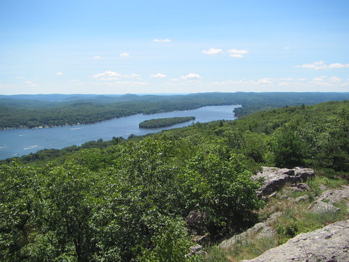
My first hike upon my return to everyday life was a relatively short hike at Bearfort Mountain. Embarrassingly, I had been here before and totally forgotten about it. On this hike, we just did the highlights - the ridge overlooking Greenwood Lake, Surprise Lake, and the AT at the NJ/NY state line.

Monday, August 15, 2016

The Long Trail, Part III: The End

Lavender fields

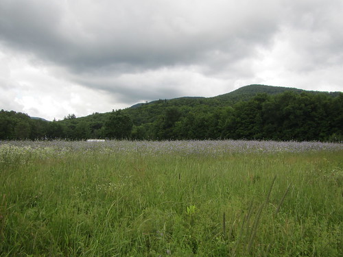
On day 17, I was looking forward to the one and only time the trail becomes flat - crossing the Winooski River. After heading down from Camel's Hump, there it was - the road. The trail leaves the road and crosses through agricultural fields. It's perfectly flat except for stiles over electrified fences. As I made my way past a creek, I ran into Pink Heels and Easy Cheese, who were going the wrong direction; they found a fence they couldn't get around. But all good things must come to an end, and the flatness turned into a straight-up grind to the top of Bolton Mountain. Bolton wasn't particularly interesting, but we stayed in a great shelter that night - Puffer isn't a fancy structure, but it has a terrific view.

View from Puffer shelter

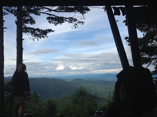
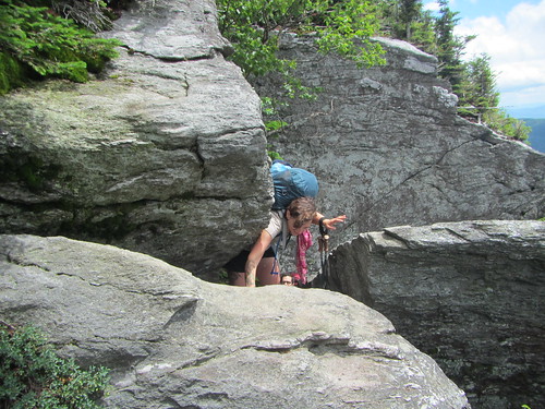
Day 18 had its own milestone - Mt. Mansfield, the high point of Vermont. Like Burnt Knob and Camel's Hump, it has a great deal of rocky scrambling. Now, Mt. Mansfield is said to look like a face (which I can't see at all), and the LT goes from the "forehead" to the "chin." The forehead had the most tricky scrambling of the entire trip, and I was glad to be hiking with other people. Of course, the views at the top were terrific, but the sheer number of people was a bit overwhelming - there are several other trails to the top, most of which are shorter by virtue of gondola or car. After a short but steep descent partway down the mountain, we spent the night in Taft Lodge, a very well-appointed shelter, along with the caretaker, two overnighters, and Silent Force.

Climbing Mansfield

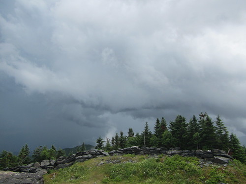
On day 19, the trail descended to Smuggler's Notch before going uphill again. At the Elephant's Head Cliff vista, I caught an impressive view of a cliffy side of Mt. Mansfield. Then it was on to Sterling Pond, which had a lot of dayhikers, thanks to the nearby ski area. However, it was to be a short day - a storm was rolling in. Pink Heels, Easy Cheese, and I hoped to make it to the warming hut on top of Madonna Peak - I was glad for their intel, as it isn't mentioned in the guidebook. We came out of the trees onto a ski trail in sight of the hut just as the first drops broke. The hut wasn't the fanciest, but it was dry, and we had some fabulous clouds to watch. Later in the evening, the Skittles and their adults joined us for the night.

Clouds on Madonna

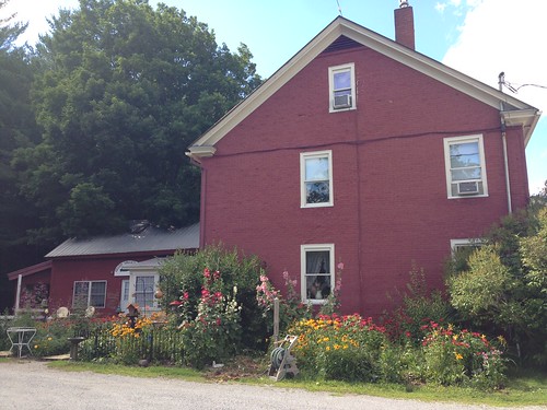
Day 20 was town day again, the last one. The trail itself was up and down until it joined a country dirt road. We stayed the night at Nye's Green Valley Inn; the owner was a truly gracious host and shuttled us around to both Johnson and Jeffersonville. Also, they had goats and miniature ponies, and if you don't love that, your heart is cold.

Nye's Green Valley Inn

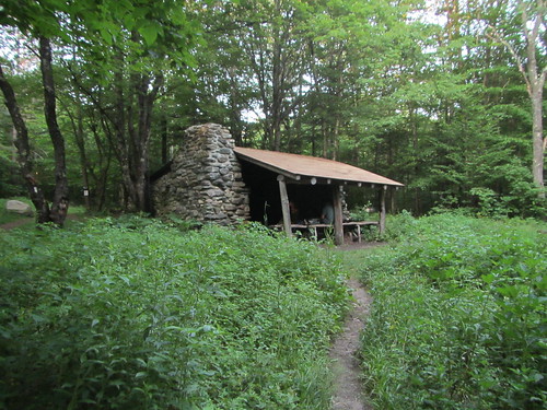
After leaving the Lamoille Valley on day 21, we went up and down a few times, enjoying a few vistas along the way, and ending up at Corliss Camp. It was another nice shelter, and we had a good campfire with marshmallows.

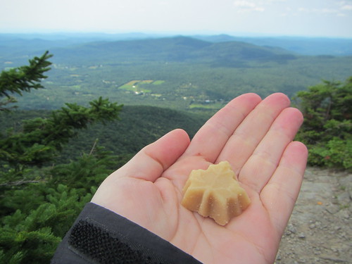
Laraway Mt. and maple candy

The next day was a series of ascents and descents. It included the Devil's Gulch, which reminded me of hiking in Tennessee's Cumberland Plateau. Then there was a rough climb up Mt. Belvidere - I had an allergy attack, it was pretty hot, and the deer flies had come out in massive numbers. I felt like Pigpen with a cloud around my head. But there was another great fire tower view at its summit.

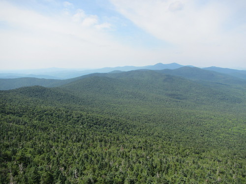
Belvidere view

On day 23, the hiking itself was nothing spectacular. I did enjoy Domey's Dome, mostly for its name. Somehow, I didn't have enough water, and spent a good part of my afternoon thirsty. Finally, there was a stream before the road, so I didn't have to hitchhike to town for a drink. I spent the night at Jay Camp, where a major thunderstorm boomed right over us in the night.

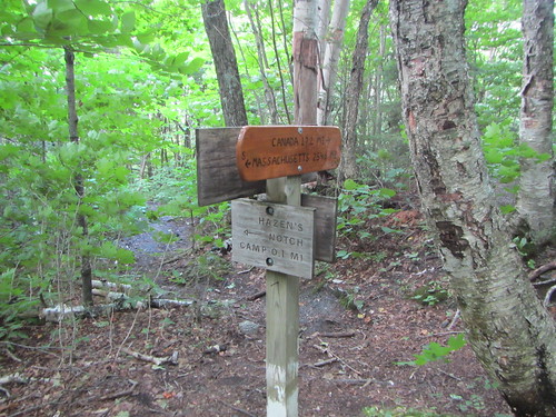
That close to Canada?

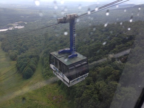
Day 24 was supposed to be a longer day. Pink Heels, Easy Cheese, and I went up Jay Peak. Thanks to the fog, we didn't get much in the way of views. We took the gondola down to the ski area - unlike many of the trams, it runs on a schedule instead of continuously - at 10:30 and had lunch. They planned to spend the night, so I said goodbye and hopped back up on the 12:30 gondola as thunder began to rumble. It turned out to be a good choice, as they shut down the gondola after that because of the weather. I made it to Laura Woodward shelter with only a few minutes to spare before the skies opened up again, and I was trapped for the day. My final day would have to be longer than planned.

Killington

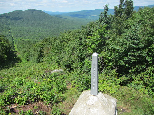
I got an early start on day 25. The trail was wet but not particularly treacherous. The end was so close! And then it was there - the line post marking the border with Canada. After an obligatory photo and a quick step into Canada, I turned east onto the Journey's End trail to return to civilization. 273 miles plus a few spurs and road walks - done.

Boundary marker


Wednesday, August 10, 2016

The Long Trail, Part II: The Endless Middle

The middle of the hike was the most challenging part for me. Suddenly, the trail grew rougher. The weather grew worse. And my body was growing weary ...

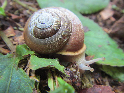
Snail

On day 9, I set off from McGrath's Killington Inn in fine spirits. The weather was unpleasantly hot and muggy, but I was freshly showered and coffeed. Soon, the AT split off the the east, and I continued north, spending the night at the David Logan shelter. Here I met two hikers I'd see much more of later on, Pink Heels and Easy Cheese, and they named me "Weasel Masseuse."

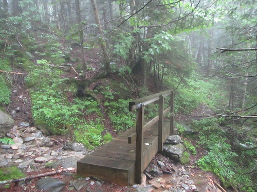
Wet bridge23

I planned to spend day 10 as a zero day; my heels had been hurting me, and I didn't want to push things. But spending a rainy day in a shelter is boring, not to mention cold, so I went on. I decided to go as far as the Sunrise shelter, but I got there and was still tired and cold, and it was nothing special. So I went the extra mile to the road and hitched a ride to whatever town I could get to, which happened to be Rochester, and stayed at a B&B. It was nice enough - the owners were very friendly - but they weren't as accustomed to hikers as the other places I stayed.

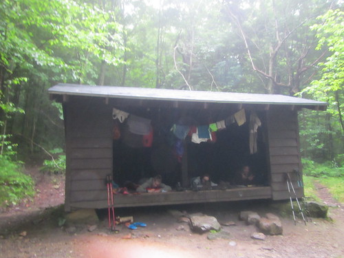
Sucker Brook shelter

Still, a night in a warm building did wonders, and day 11 was better. It helped that it was going to be a short trail day - thanks to shelter placement, it was either a very short day or a very long day. Mt. Horrid had a great name (and a Great Cliff, which is very Lemony Snicket), but no view, thanks to rain.

Middlebury Snow Bowl

On day 12 I got back to some decent mileage, a little over 11 miles, and the weather cleared - although the trail was a wet, muddy mess. At one point, nearing the shelter, I had a rather nasty slip that nearly twisted my ankle. It was clearly time to call it a night.

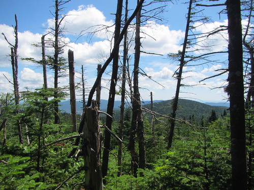
Dead trees

Day 13 came, and I was getting thoroughly sick of the Breadloaf Wilderness. The trail in the this area was quite overgrown, and I got tired of getting thwacked by wet evergreens while avoiding puddles. There were a few good views, though, as a reward.

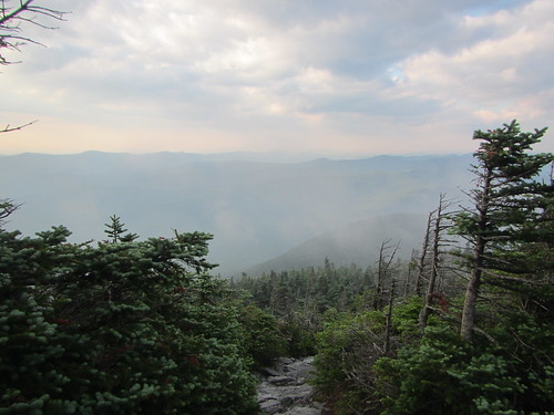
Foggy morning

Day 14 began with a hike up Mt. Abraham. I understand the view from it is quite fine. I, however, did not see it, as it was still shrouded with fog when I reached the top. This isn't necessarily a complaint - while it would be nice to see it someday, I had chosen to get started early from a very crowded camp in order to avoid the hordes. From Abraham one proceeds over several summits, and then it's down to the road. At the road, I hitched a ride into Waitsfield for my box and lunch (Three Mountain Cafe, which roasts their own coffee, was excellent), and then another ride to the Hyde-Away Inn. 

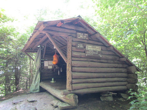
Cowles Cove shelter

After a ride to the trailhead, I had high hopes for day 15, aiming for Birch Glen Lodge, but nature had other ideas. I stopped at Cowles Cove shelter just after lunchtime, knowing that nasty thunderstorms were supposed to be coming in. Under some circumstances I might have plodded on, but right after Cowles Cove is Burnt Rock, and a sign in the shelter warned direly of how slow it was under the best of circumstances, and how dangerous it was when wet. I sat down to be bored as I waited out the afternoon, closing the tarp door as the rain hit. (This was a feature on no other shelter.) Just as I wished for company, a group of eight campers and their two counselors arrived. While they were planning to tent, there was no point in making them muck around in the driving rain.*

Burnt Knob

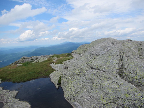
I was ready to move on day 16, despite worries about wet rocks - at least the rain had stopped. But Burnt Rock proved to be dry enough, and it was really fun. It's nearly all exposed rock, so not for the faint of heart, but it has great vistas. From there, though ... Next up was the Allen Brothers, Ira and Ethan, and those were some of my lowest moments on the trail. First, I thought I had lost my map. Then the trail went endlessly up and down on scrambly bits, and it looked like it might rain again. I was thoroughly sick of the trail and annoyed when I reached the top of Ethan Allen and paused for a snack. The food and rest helped, and then the sun came out, and everything looked a lot better. So I decided to go on, to Camel's Hump, which is a more magnificent version of Burnt Rock. It offered incredible 360 views.

Luckily for me, that was the low point on the trail. I was now 2/3 of the way done, and beginning to realize the end was in sight. 

Camel's Hump

* Camp groups aren't allowed to stay in the shelters; some of the local camps use the LT on a weekly basis, and would drive out thru-hikers. We wouldn't even have all fit for the night. But for a couple of hours, a roof improved everyone's spirits. Although I'm not sure theirs were ever dampened.

Monday, August 8, 2016

The Long Trail, Part I: The Appalachian Trail

It's been radio silence around here as I spent three and half weeks thru-hiking Vermont's Long Trail. It was a tremendous experience, and I had about 900 photos to go through!

But let's start at the beginning ...

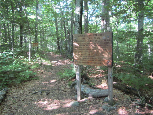
Welcome to the LT

I took the bus up from NYC to Williamstown, MA, and then the local BRTA #3 bus to near the trailhead. From there, I got on the Appalachian Trail going north. The LT may be 273 miles, but you can't just get on it - extra miles are required to access it at both ends. So my first 3.8 miles didn't "count," so to speak. I only went a few more miles, since most of my day had been taken up with bus travel, and when I rolled into the Seth Warner shelter, I was surprised to see Janel, Soft G, and Tuna Roll, who I had met on a weekend backpacking trip a few weeks previously. The shelter was rather full, thanks to it being a holiday weekend.

Beaver pond

Day 2 saw a steep climb down to Route 9, and a steep climb back up, but there was trail magic at the road - Mike and Steve had drinks and snacks for thru-hikers. I slept in a shelter for the first time that night, thanks to the predicted rain. I also met DR, Jazz Hands, and the Skittles - four young girls hiking the entire LT. I'd see them off and on again the entire trail.

Glastenbury Tower

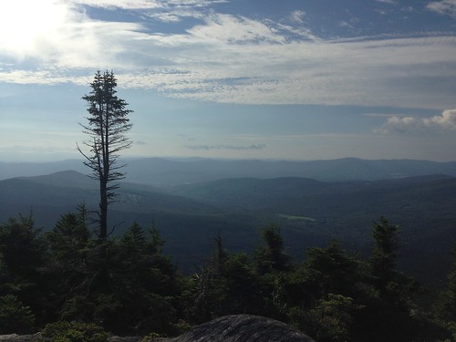
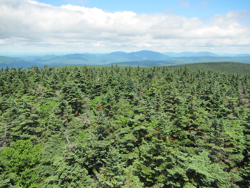
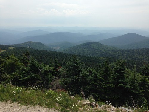
On day 3 we started getting some spectacular scenery as we reached Glastenbury Mountain with its fire tower. It was a clear day and the views were terrific.

Stratton gondola

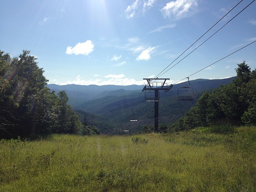
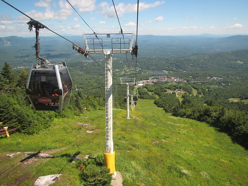
Day 4 led us up to another mountain with another fire tower - Stratton Mt. Luckily, I arrived early enough in the morning to beat the gondola crowds. After chatting with the caretakers, I took the spur trail to the gondola (free for thru-hikers), and rode down into Stratton Village for a sandwich.

Sunset on Bromley Mt.

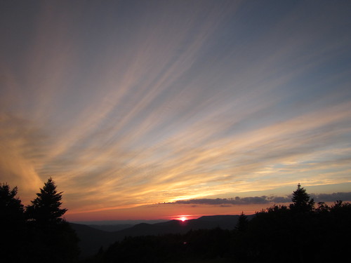
Day 5 produced yet another mountain view for us. I stayed at the Bromley ski patrol hut after a lower mileage day. We had a beautiful sunset on top of Bromley. Some people complain about all the ski mountains, and I respect their concerns about development vs. wilderness, but the ski areas do result in some better views, not to mention some nice huts.

View from Baker Peak

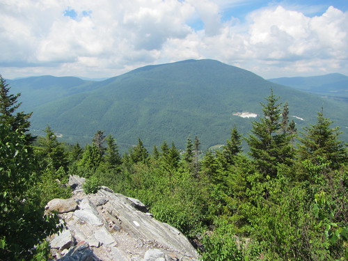
On Day 6 I saw the first bit of trail that could use more maintenance; the northern slope of Bromley was quite brushy. In general, the AT part of the trail was quite well maintained. The highlight of the day was probably Baker Peak, where we hiked up a knife-edge of upturned granite, with a southern view at the top. Little Rock Pond was a very nice shelter, too.

Gov. Clement shelter

On Day 7 I went into Wallingford to pick up my food resupply, have a real meal, and plug in my phone. With my pack newly heavy and the weather getting hotter, I climbed up another mountain, then started up to Clarendon via a steep, rocky ravine. This was my longest day on the trail, 19.4 miles.

Killington view

Day 8 took me up yet another ski slope, to Killington Lodge. The trail doesn't go all the way to the peak, but I elected to take the spur up and eat at the lodge. Then down again, of course. As I approached the highway, I got caught in my first rain of the trip. I really couldn't complain - it had been a week of no rain except at night, which is quite unusual for the LT. But still, it was nice that this was to be my first town night. I stayed at the Inn at Killington, which I highly recommend. I had a really terrific salad there (no, really!), took a shower, and did laundry.

And here I pause, for we are almost to the 100-mile mark, where the LT and the AT diverge ...