The weather in the Catskills was not promising this weekend. So we opted to do a hike that didn't involve scrambling on wet rocks, initially deciding on Bearpen and possibly Vly.
After doing quite a bit of driving to drop our friends off for a shuttle hike, we headed back towards Bearpen. It was later than we had anticipated, so we adjusted our plans to be Bearpen only, which meant we could easily approach it from the north. The first time I did it, I hiked it from the south, where peakbagging both mountains is easier.
We had a bit of trouble finding the trailhead. Important note: Do not rely on the Nat Geo map for this one - the trailhead is not down Ski Run road, which is a snowmobile-only, very rough dirt road. The NY/NJ Trail Conference map, which shows the parking lot at Matyas, is correct.
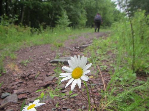
The trail itself, though, is "easy" for a Catskills peak. It's relatively short (about 2.6 miles one-way) and has easy footing, being a wide, old road. The only challenge comes from the elevation gain; you have to walk uphill, but it's not as steep as many other peaks.
At the top, we didn't have much of a view down the old ski run, since it was a cloudy, foggy day.
I'd heard this was the prettier route up, but to my mind it's a toss-up - they're both equally scenic.
No comments:
Post a Comment